Printable Scholar
Canada Provinces Map
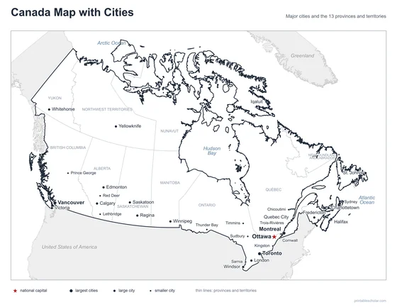
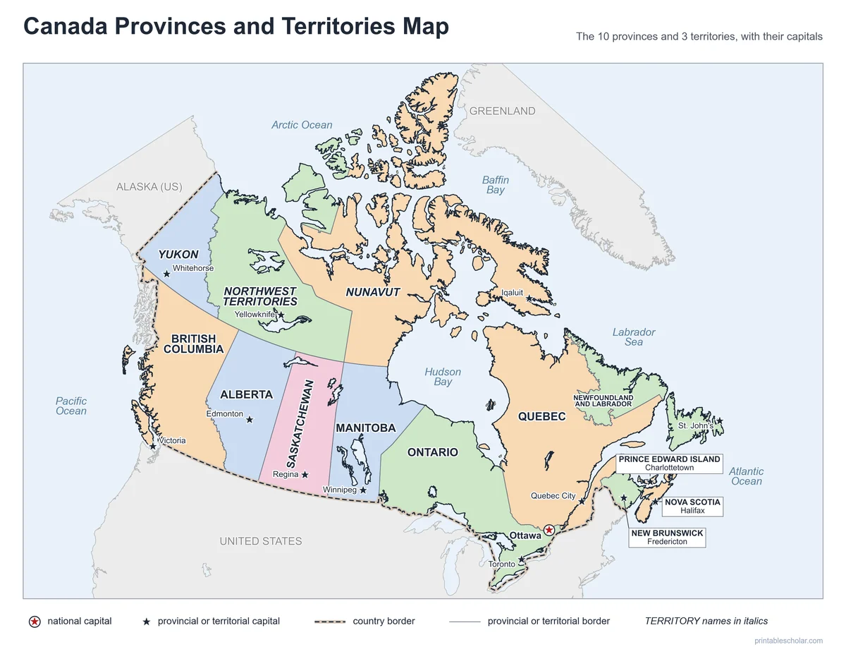
A free printable map of Canada’s 10 provinces and 3 territories, with every province and territory named and every capital starred, and Ottawa, the national capital. It comes in black and white or color, as a blank map for quizzes, and with a provinces and capitals list and quiz.
Choose your version
Black and white, color or blank.
All three are free PDFs sized for US Letter paper.

Black and white
Every province, territory and capital named on a plain outline map. No color ink needed.
downloadBlack and white PDF
Color
The same map with each province and territory in a soft color.
downloadColor PDF
Blank
Borders and capital stars, no names, with a Name and Date line.
downloadBlank PDFLearn the capitals
Canada provinces and capitals worksheet
A list of the 10 provinces and 3 territories and their capitals, and a quiz with a word bank. The list is the answer key.

Canada Provinces and Capitals
Two pages: the provinces, territories and capitals in a list, and a quiz to write each capital from a word bank.
downloadList and quiz PDF
Doing a Canada country report? Get the whole kit
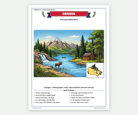
This map names the provinces and territories. The kit adds five Canada maps, with everything else a report needs, in one print-ready file.
- 4 reading pages: fun facts, History, Land and Work, and Culture and Daily Life
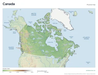
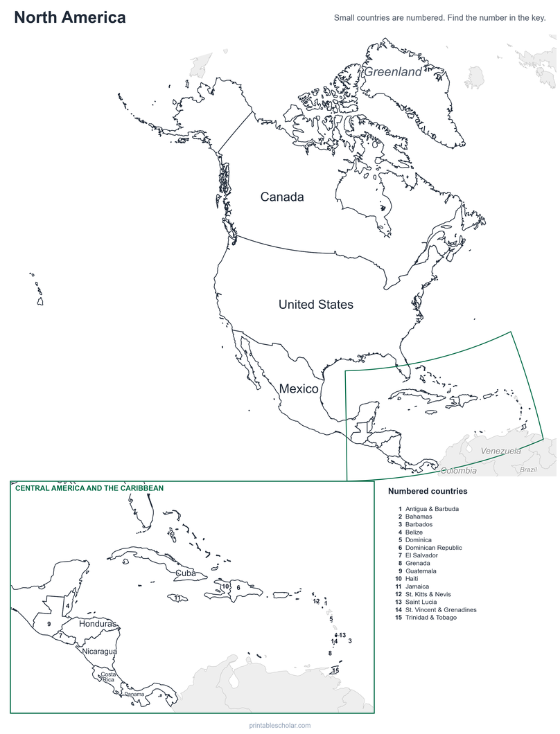
- 5 maps: landmarks, cities, Where in the World, outline, and rivers, lakes and neighbors
- A 9-page My Country Report booklet, a pennant to cut out, two map skills sheets and a 10-question reading quiz
- Answer keys and a rubric, in one PDF of 26 pages, in color and in black and white, US Letter
Each student on a different country? Get all 13 country kits for $24.
The provinces and territories of Canada
Canada is divided into 10 provinces and 3 territories. The provinces, from west to east, are British Columbia, Alberta, Saskatchewan, Manitoba, Ontario, Quebec, New Brunswick, Nova Scotia, Prince Edward Island, and Newfoundland and Labrador. The three territories, Yukon, the Northwest Territories and Nunavut, cover the far north.
The provinces have their own powers under Canada’s constitution. The territories get their powers from the federal government in Ottawa. Most Canadians live in the provinces, close to the United States border; the three territories are huge but have very few people.
Canada began on July 1, 1867, with four provinces: Ontario, Quebec, Nova Scotia and New Brunswick. The others joined over the next 82 years, and Newfoundland was the last, in 1949. Nunavut, the newest territory, was split from the Northwest Territories in 1999. It is the largest of all, about a fifth of the country. Quebec is the largest province, Prince Edward Island is the smallest, and Ontario has the most people, almost 4 in 10 Canadians.
The provinces, territories and capitals
- Alberta: Edmonton
- British Columbia: Victoria
- Manitoba: Winnipeg
- New Brunswick: Fredericton
- Newfoundland and Labrador: St. John’s
- Northwest Territories (territory): Yellowknife
- Nova Scotia: Halifax
- Nunavut (territory): Iqaluit
- Ontario: Toronto
- Prince Edward Island: Charlottetown
- Quebec: Quebec City
- Saskatchewan: Regina
- Yukon (territory): Whitehorse
- National capital: Ottawa, in Ontario
Find it on the map
- Ottawa, the national capital, on the border of Ontario and Quebec
- Nunavut, the largest territory, with its capital Iqaluit on Baffin Island
- Prince Edward Island, the smallest province, in the Gulf of St. Lawrence
Boundaries, coastlines and capital locations: Natural Earth. Lambert conformal conic projection, the one Statistics Canada uses for maps of the whole country.
Frequently asked questions
How many provinces and territories does Canada have?
Ten provinces and three territories, 13 in all.
What is the difference between a province and a territory?
Provinces get their powers from Canada’s constitution and run most of their own affairs. Territories get their powers from the federal Parliament. The three territories are in the north and have far fewer people.
What is the capital of Canada?
Ottawa, in Ontario, on the Ottawa River across from Quebec. The capital of the province of Ontario is Toronto, so Ontario has two capitals on the map.
Which is the largest province?
Quebec is the largest province. Nunavut, a territory, is larger still: about a fifth of all of Canada.
Which is the smallest province?
Prince Edward Island, an island in the Gulf of St. Lawrence. Its capital is Charlottetown.
How do students use the blank map?
The blank map has the borders and a star at every capital, with no names. Students write in the provinces and territories, or the capitals, and check their work with the labeled map. The worksheet has a list of all 13 capitals and a quiz with a word bank.