Printable Scholar
Berlin Wall Map
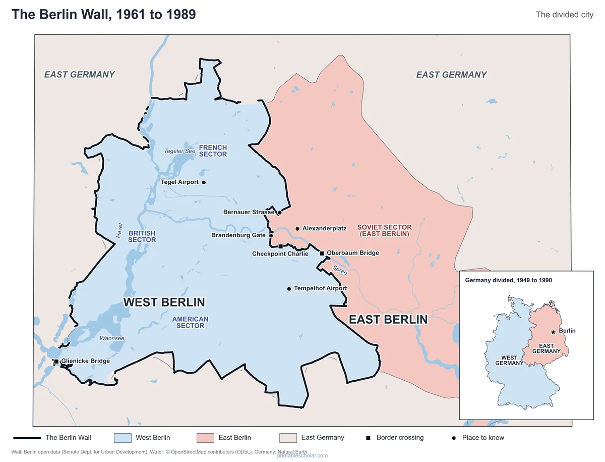
A free printable map of Berlin when it was divided by the Berlin Wall, from 1961 to 1989. It shows the real line of the Wall around West Berlin, the American, British, French and Soviet sectors, the border crossings, the Brandenburg Gate and other places to know, with an inset of divided Germany. Black and white, color, and a blank map with a word bank.
Choose your version
Black and white, color or blank.
All three are free PDFs sized for US Letter paper.
Black and white
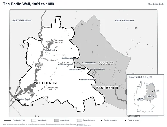
The Wall, West and East Berlin, the crossings and places to know named. No color ink needed.
downloadBlack and white PDF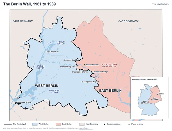
Color
The same map with West Berlin in blue and East Berlin in red.
downloadColor PDF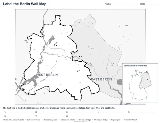
Blank
Nine numbered places and a word bank. Black and white.
downloadBlank PDFA city divided
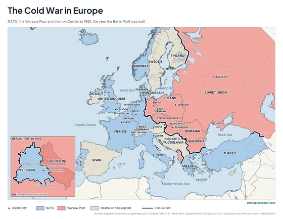
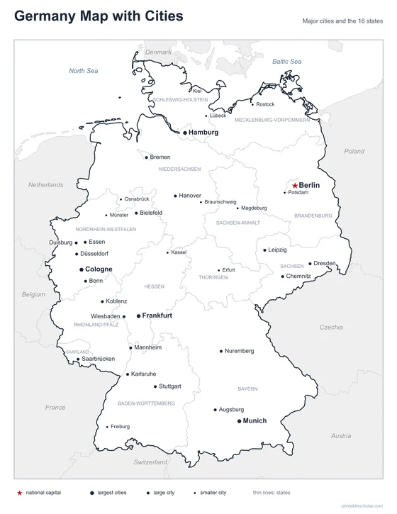
After World War II, the countries that had defeated Germany split it into four zones, held by the United States, Britain, France and the Soviet Union. Berlin, the capital, sat deep inside the Soviet zone, about 100 miles from the western zones, but it was split into four sectors too. In 1949 the American, British and French zones became West Germany, and the Soviet zone became East Germany, a communist country. The three western sectors of Berlin became West Berlin, an island of West Germany surrounded by East Germany.
In 1948 and 1949 the Soviet Union blocked the roads, railroads and canals into West Berlin. The United States and Britain answered with the Berlin Airlift, flying in food and coal for nearly a year, most of it to Tempelhof Airport. By 1961 millions of East Germans had left for the West through Berlin. On the night of August 13, 1961, East German soldiers strung barbed wire across the city, and soon a concrete wall about 96 miles long surrounded West Berlin.
The Wall cut through streets and neighborhoods and split families. Behind it lay a strip of guard towers and open ground that people called the death strip. Foreigners and diplomats crossed at Checkpoint Charlie, where American and Soviet tanks faced each other in 1961. At least 140 people died trying to cross. On November 9, 1989, after weeks of protests in East Germany, the government opened the border, and crowds climbed on the Wall at the Brandenburg Gate. Germany was reunited on October 3, 1990.
Berlin Wall facts
- Built: August 13, 1961
- Opened: November 9, 1989
- Length: about 96 miles around West Berlin, about 27 miles of it through the city center
- Height: about 12 feet
- Germany reunited: October 3, 1990
Find it on the map
- West Berlin, completely surrounded by the Wall and East Germany
- The Brandenburg Gate, right on the line between East and West
- The inset: how far Berlin was from West Germany
The Wall’s line is from the Berlin city government’s open data. Sector names are placed over the boroughs each power held; the lines between the western sectors are not drawn. Water: OpenStreetMap contributors (ODbL).
Frequently asked questions
Why was the Berlin Wall built?
East Germany built it in 1961 to stop its people from leaving for West Berlin and West Germany. About 3.5 million people had left East Germany since 1949, many of them through Berlin.
Where was the Berlin Wall?
It ran all the way around West Berlin, about 96 miles, separating it from East Berlin and the rest of East Germany. The map shows its real line.
What was Checkpoint Charlie?
The best-known crossing point between East and West Berlin, used by foreigners, diplomats and soldiers. In October 1961 American and Soviet tanks faced each other there for 16 hours.
When did the Berlin Wall fall?
On the night of November 9, 1989, when East Germany opened the border crossings. People began knocking the Wall down that night, and Germany was reunited on October 3, 1990.
Why was Berlin inside East Germany?
After World War II, Germany was split into four zones, and Berlin, which lay in the Soviet zone, was split into four sectors. The western sectors of the city stayed linked to West Germany, so West Berlin became an island about 100 miles inside East Germany.
How do students use the blank map?
The blank map shows the same city and Wall with nine numbered places and a word bank. Students write the name of each place, then color West Berlin and East Berlin. The labeled map is the answer key.