Printable Scholar
Amazon River Map
A free printable map of the Amazon River, from the Andes Mountains to the Atlantic Ocean. It shows the main tributaries, including the Rio Negro and the Madeira, the outline of the Amazon basin across 7 countries, and the river cities of Iquitos, Manaus and Belém. Black and white, color, and a blank map with a word bank.
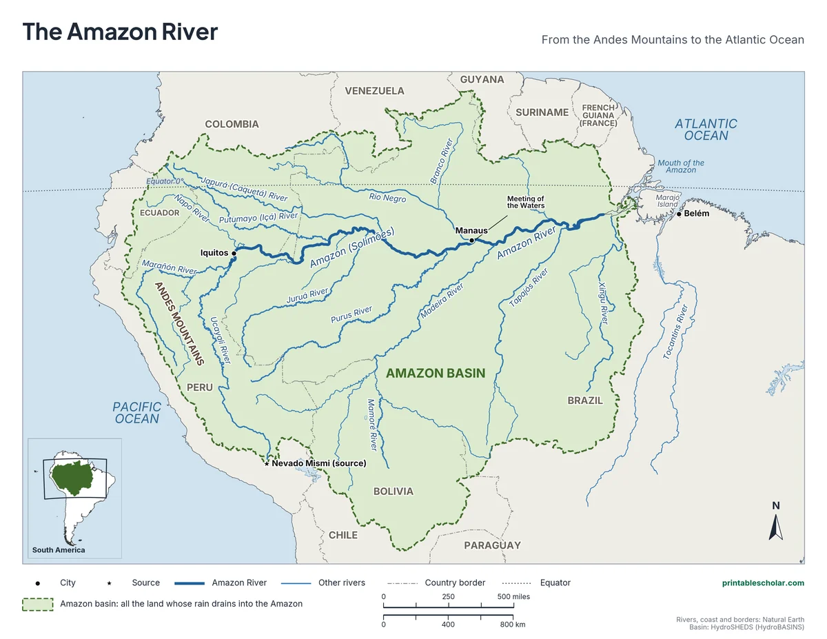
Choose your version
Black and white, color or blank.
All three are free PDFs sized for US Letter paper.
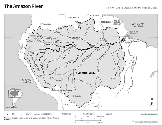
Black and white
The Amazon, its main tributaries, the basin, cities and countries named. No color ink needed.
downloadBlack and white PDF
Color
The same map with blue rivers and sea and the basin in green.
downloadColor PDF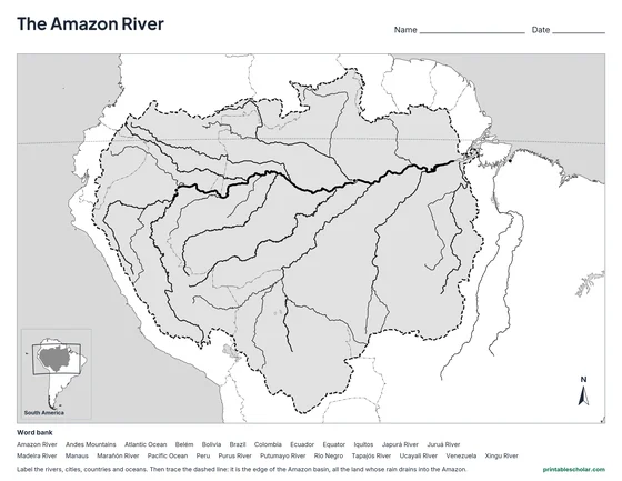
Blank
The same rivers, borders, basin and city dots with no names, and a word bank.
downloadBlank PDFThe river that carries the most water
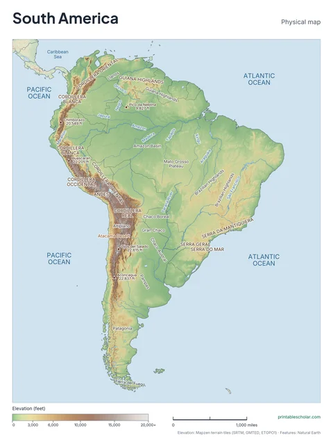
The Amazon River flows about 4,000 miles (at least 6,400 km) across South America, from streams high in the Andes Mountains of Peru to the Atlantic Ocean in Brazil. Only the Nile is usually called longer, and some scientists argue that the Amazon wins. No river carries more water: about one fifth of all the river water that reaches the world’s oceans comes out of the Amazon.
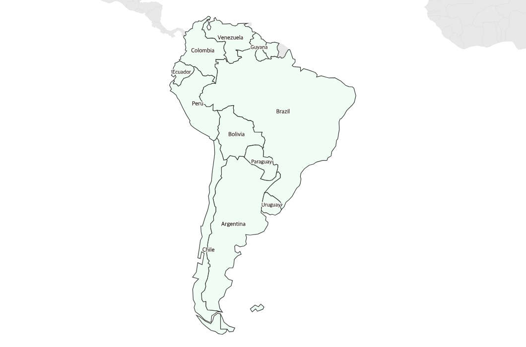
The Amazon basin is all the land whose rain drains into the river, about 2.3 million square miles. That is about three quarters the size of the 48 connected US states. The basin reaches into 7 countries: Brazil, Peru, Bolivia, Colombia, Ecuador, Venezuela and Guyana. Brazil holds about 62 percent of it, Peru about 16 percent and Bolivia about 12 percent. Most of the basin is covered by the Amazon rainforest.
More than a thousand rivers flow into the Amazon. The Marañón and the Ucayali meet in Peru, upstream of Iquitos, to form the main river. In Brazil, the stretch above Manaus is called the Solimões. The Rio Negro, the Madeira, the Japurá, the Purus, the Tapajós and the Xingu are some of the biggest tributaries, and several of them are among the largest rivers in the world on their own.
Near Manaus the dark Rio Negro meets the pale, muddy Solimões. For about 6 kilometers (almost 4 miles) the two run side by side without mixing, a sight called the Meeting of the Waters. The Rio Negro is warmer and slower and gets its tea color from rotting leaves; the Solimões is cooler and faster and carries sand and mud from the Andes. Downstream they blend into one river, which empties into the Atlantic around Marajó Island, near the city of Belém.
River facts
- Length: about 4,000 miles (at least 6,400 km)
- Starts: the Andes Mountains of Peru
- Ends: the Atlantic Ocean, in northern Brazil
- Basin: about 2.3 million square miles in 7 countries
- Biggest tributaries: the Rio Negro and the Madeira
- Cities: Iquitos (Peru), Manaus and Belém (Brazil)
Find it on the map
- The Meeting of the Waters, where the Rio Negro joins the Amazon at Manaus
- The dashed line around the Amazon basin, from the Andes to the Atlantic
- The equator, which the river follows just to the south
Rivers, coast and borders: Natural Earth. Basin outline and the basin area by country: HydroSHEDS (HydroBASINS), which counts the Tocantins as a separate basin; atlases that include it give a larger basin.
Frequently asked questions
Where does the Amazon River start and end?
It starts in the Andes Mountains of Peru, where the farthest stream begins on a mountain called Nevado Mismi, and it ends at the Atlantic Ocean in northern Brazil. The main river forms where the Marañón and the Ucayali meet, upstream of Iquitos.
What countries does the Amazon River flow through?
The main river flows through Peru, Colombia (along a short stretch of its southern border) and Brazil. Its basin, the land that drains into it, also reaches into Bolivia, Ecuador, Venezuela and Guyana: 7 countries in all.
How long is the Amazon River?
About 4,000 miles, or at least 6,400 km. Measurements differ because it is hard to say exactly where a river starts and where its mouth ends. The Nile is usually listed as slightly longer.
What is the Meeting of the Waters?
The place near Manaus, Brazil, where the dark Rio Negro joins the pale Solimões (the Amazon). The two rivers have different temperatures, speeds and amounts of mud, so they flow side by side for about 6 km (almost 4 miles) before they mix.
What are the main tributaries of the Amazon?
The biggest are the Rio Negro and the Madeira. Others include the Japurá, the Purus, the Juruá, the Tapajós, the Xingu and the Putumayo (called the Içá in Brazil). The Marañón and the Ucayali join in Peru to start the main river.
How do students use the blank map?
The blank map shows the same rivers, borders, basin outline and city dots with no names, and a word bank. Students label the rivers, cities, countries and oceans and trace the edge of the Amazon basin. The labeled map is the answer key.