
Montana State Report Kit
Everything a student needs to research and write a report on Montana: the reading, the maps and the pages to fill in. Nothing else to look up.
- 3 reading pages: Montana fun facts, History, and Land and Work
- 5 maps: landmarks, cities, county, outline, and rivers and lakes
- An 8-page My State Report booklet, from fast facts to a trip plan and a license plate to design
- A pennant to cut out and hang, two map skills sheets and a 10-question reading quiz
- Answer keys for the quiz, the fast facts and the map sheets
- One print-ready PDF, 23 pages, black and white, US Letter
Look inside
Read it, map it, write it.
The reading pages and maps hold every answer the booklet asks for. About one third of the booklet is looking things up. The rest asks students to choose, plan and explain.

What is in the Montana kit
To read and study
- Montana fun facts: six short true stories, By the Numbers and Did You Know
- History: the state’s story in order, with a timeline, people to know and words to know
- Land and Work: the land and climate, what the state grows, makes and mines, and how one leads to the other
- Five maps, including a rivers, lakes and neighbors map with a letter key
To fill in and make
- My State Report booklet: cover, Fast Facts, My Map, State Symbols, My Trip, Think Like a Geographer, Design a License Plate and Dig Deeper
- A pennant with the state’s name and outline, to color, cut out and hang
- Name the Cities and Name the Rivers and Lakes sheets, each with a word bank
- A 10-question reading quiz, with answer keys for everything that has one right answer
Free: the Montana History reading page
One page on the history of Montana for grades 3 to 5, free to print in color or black and white. It is the second reading page in the kit.
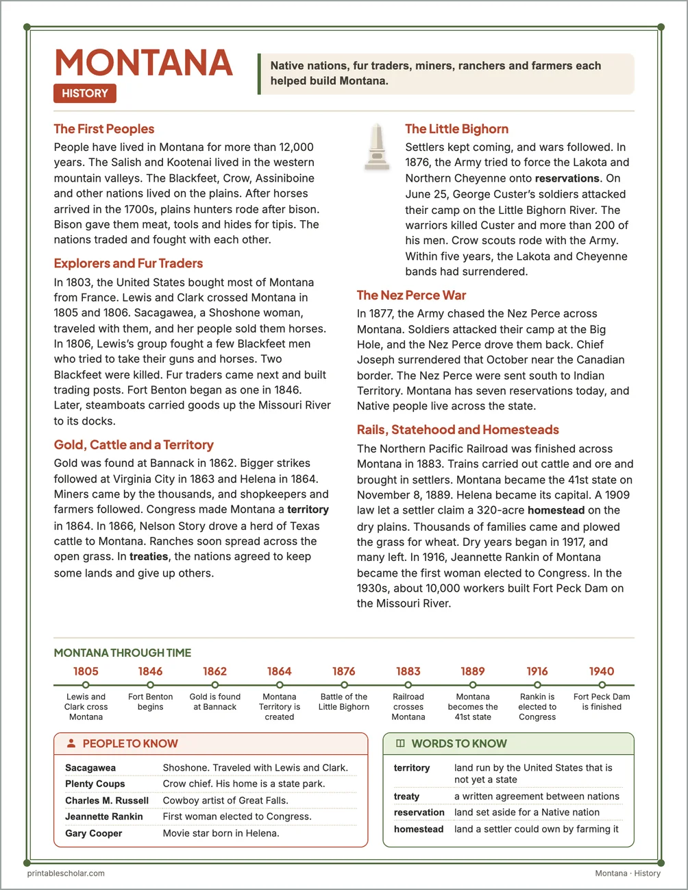
The First Peoples
People have lived in Montana for more than 12,000 years. The Salish and Kootenai lived in the western mountain valleys. The Blackfeet, Crow, Assiniboine and other nations lived on the plains. After horses arrived in the 1700s, plains hunters rode after bison. Bison gave them meat, tools and hides for tipis. The nations traded and fought with each other.
Explorers and Fur Traders
In 1803, the United States bought most of Montana from France. Lewis and Clark crossed Montana in 1805 and 1806. Sacagawea, a Shoshone woman, traveled with them, and her people sold them horses. In 1806, Lewis’s group fought a few Blackfeet men who tried to take their guns and horses. Two Blackfeet were killed. Fur traders came next and built trading posts. Fort Benton began as one in 1846. Later, steamboats carried goods up the Missouri River to its docks.
Gold, Cattle and a Territory
Gold was found at Bannack in 1862. Bigger strikes followed at Virginia City in 1863 and Helena in 1864. Miners came by the thousands, and shopkeepers and farmers followed. Congress made Montana a territory in 1864. In 1866, Nelson Story drove a herd of Texas cattle to Montana. Ranches soon spread across the open grass. In treaties, the nations agreed to keep some lands and give up others.
The Little Bighorn
Settlers kept coming, and wars followed. In 1876, the Army tried to force the Lakota and Northern Cheyenne onto reservations. On June 25, George Custer’s soldiers attacked their camp on the Little Bighorn River. The warriors killed Custer and more than 200 of his men. Crow scouts rode with the Army. Within five years, the Lakota and Cheyenne bands had surrendered.
The Nez Perce War
In 1877, the Army chased the Nez Perce across Montana. Soldiers attacked their camp at the Big Hole, and the Nez Perce drove them back. Chief Joseph surrendered that October near the Canadian border. The Nez Perce were sent south to Indian Territory. Montana has seven reservations today, and Native people live across the state.
Rails, Statehood and Homesteads
The Northern Pacific Railroad was finished across Montana in 1883. Trains carried out cattle and ore and brought in settlers. Montana became the 41st state on November 8, 1889. Helena became its capital. A 1909 law let a settler claim a 320-acre homestead on the dry plains. Thousands of families came and plowed the grass for wheat. Dry years began in 1917, and many left. In 1916, Jeannette Rankin of Montana became the first woman elected to Congress. In the 1930s, about 10,000 workers built Fort Peck Dam on the Missouri River.
Montana through time
- 1805 Lewis and Clark cross Montana
- 1846 Fort Benton begins
- 1862 Gold is found at Bannack
- 1864 Montana Territory is created
- 1876 Battle of the Little Bighorn
- 1883 Railroad crosses Montana
- 1889 Montana becomes the 41st state
- 1916 Rankin is elected to Congress
- 1940 Fort Peck Dam is finished
People to know
- Sacagawea: Shoshone. Traveled with Lewis and Clark.
- Plenty Coups: Crow chief. His home is a state park.
- Charles M. Russell: Cowboy artist of Great Falls.
- Jeannette Rankin: First woman elected to Congress.
- Gary Cooper: Movie star born in Helena.
Free Montana maps
Each of these maps is free to print on its own page. The kit puts them in one file with the reading pages and the booklet.