 Printable Scholar
D-Day Map
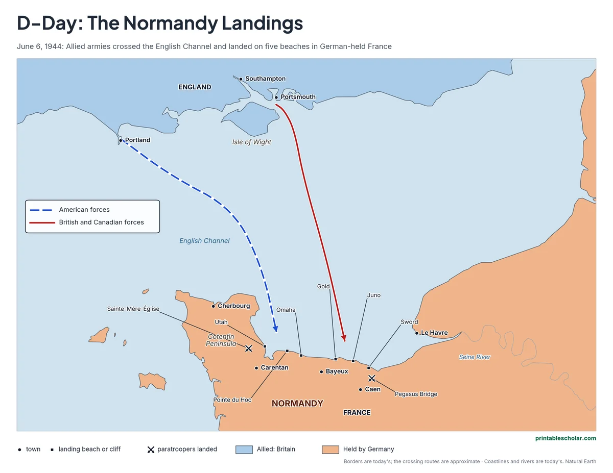
A free printable map of D-Day, June 6, 1944: the Allied crossing of the English Channel, the five landing beaches in Normandy, Pointe du Hoc, and where paratroopers landed behind the beaches. It comes in color, black and white, and blank.
Choose your version
Black and white, color or blank.
All three are free PDFs sized for US Letter paper.
Black and white
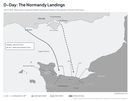
Everything named on a plain outline map with no terrain. No color ink needed.
downloadBlack and white PDF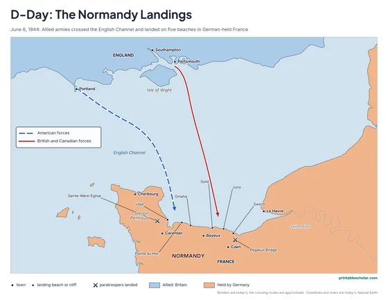
Color
The beaches, the crossing, the paratroop landings and towns named.
downloadColor PDF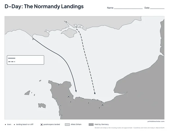
Blank
The black-and-white map with its routes and markers but no names, for labeling practice.
downloadBlank PDFD-Day, June 6, 1944
By 1944 Germany had held France for four years. The Allies, led by the United States, Britain and Canada, planned an invasion across the English Channel called Operation Overlord, under the American general Dwight D. Eisenhower. They chose the beaches of Normandy, where the Germans expected them less than at the narrowest point of the Channel near Calais. In the night before June 6, about 13,000 paratroopers and glider troops landed behind the beaches: Americans near Sainte-Mere-Eglise and British troops near Caen, where gliders landed right beside Pegasus Bridge and captured it. At dawn, after a night crossing by about 7,000 ships and landing craft from ports along the south coast of England, about 156,000 soldiers landed on five beaches, code-named Utah and Omaha for the Americans, Gold and Sword for the British, and Juno for the Canadians. At Pointe du Hoc, American Rangers climbed 100-foot cliffs with ropes and ladders. Omaha Beach was the hardest fight of the day. By nightfall the Allies were ashore on all five beaches, and within weeks more than a million soldiers had landed. Paris was freed on August 25, 1944, and Germany surrendered on May 8, 1945.
On the map
- Utah and Omaha: the American beaches
- Gold and Sword: the British beaches
- Juno: the Canadian beach
- Pointe du Hoc: the cliffs American Rangers climbed
- Sainte-Mere-Eglise: where American paratroopers landed
- Pegasus Bridge: captured by British glider troops just after midnight
- Portsmouth, Southampton and Portland: ports the invasion fleet sailed from
Find it on the map
- The five beaches along about 50 miles of coast
- How far the fleet crossed from England
- The Cotentin Peninsula and the port of Cherbourg, which the Allies needed next
The crossing routes are simplified and approximate. Borders are today’s. Coastlines and rivers are shown as they are today.
Frequently asked questions
What was D-Day?
June 6, 1944, the day Allied armies crossed the English Channel and landed in Normandy, France, to begin freeing Western Europe from German control in World War II. It was the largest invasion by sea in history.
What were the five D-Day beaches?
Utah and Omaha, where American troops landed; Gold and Sword, where British troops landed; and Juno, where Canadian troops landed.
Why was it called D-Day?
D-Day is a military term for the day an operation begins. The Normandy landings are so famous that the name now usually means June 6, 1944.
How many soldiers landed on D-Day?
About 156,000 Allied soldiers landed by sea and air on June 6, 1944, carried by about 7,000 ships and landing craft and supported by about 11,000 aircraft.
How do students use the blank map?
The blank map keeps the routes and the beach, town and landing markers with no names. Students label the five beaches, the towns and the ports and tell which army landed where. The labeled map is the answer key.