Free Printable World Map — No Borders
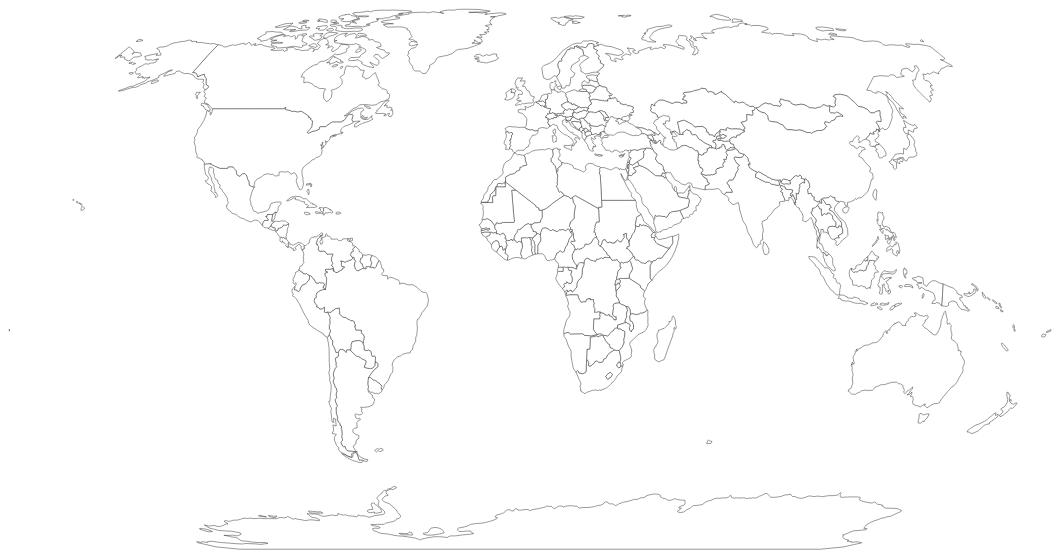
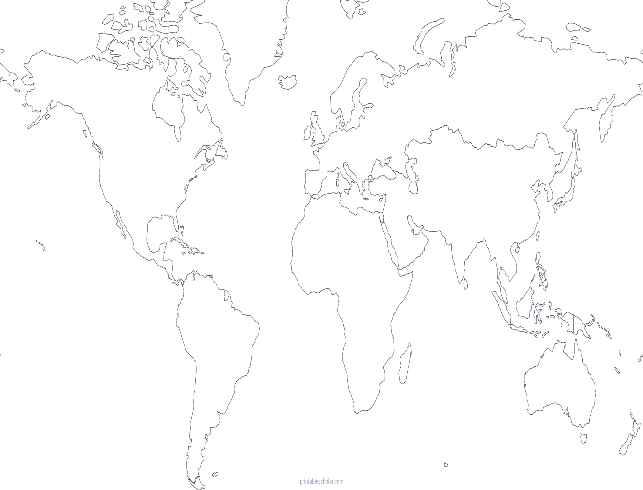
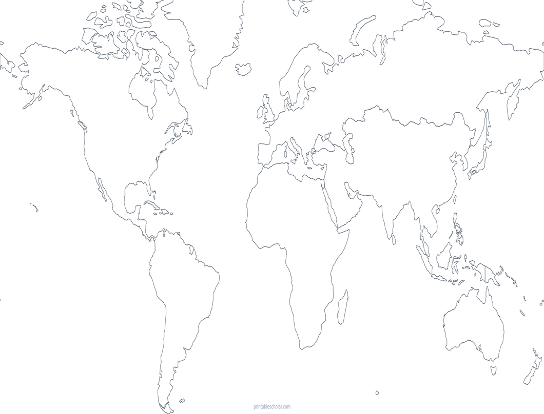
A clean world map with continent outlines only — no country borders, no labels. Perfect for coloring activities, art projects, and any time you need an uncluttered canvas.
About This Map
This world map shows continent-level outlines with no internal country borders and no text labels of any kind. The Robinson projection keeps continent shapes balanced and recognizable, making it easy for students to identify and color each landmass.
How to Use
Print on standard US Letter paper (8.5" × 11") in landscape orientation. Click "Download PDF" for a print-ready file sized to fill the page, or "Download PNG" for the full-resolution image. The clean surface works well for watercolor, colored pencil, or marker activities — each continent's shape is distinct enough to color without a guide.
Frequently Asked Questions
What's the difference between this map and the blank world map?
The blank world map shows individual country borders (thin lines) plus continent outlines. This map removes all country borders entirely — you only see the outer coastline of each continent, giving you a cleaner surface for coloring or creative projects.
What projection does this world map use?
This map uses the Robinson projection, a pseudo-cylindrical projection designed specifically for world maps. It balances shape and size distortion across all continents and is used by National Geographic.
What activities is this map good for?
This map is ideal for coloring activities (students can fill each continent however they like), art projects, watercolor practice, and any activity where a clean, uncluttered map is needed.