Free Printable Rhode Island Map with Cities
Free printable map of Rhode Island showing major cities, the state capital Providence, and county boundaries. Perfect for geography study, classroom use, and reference.
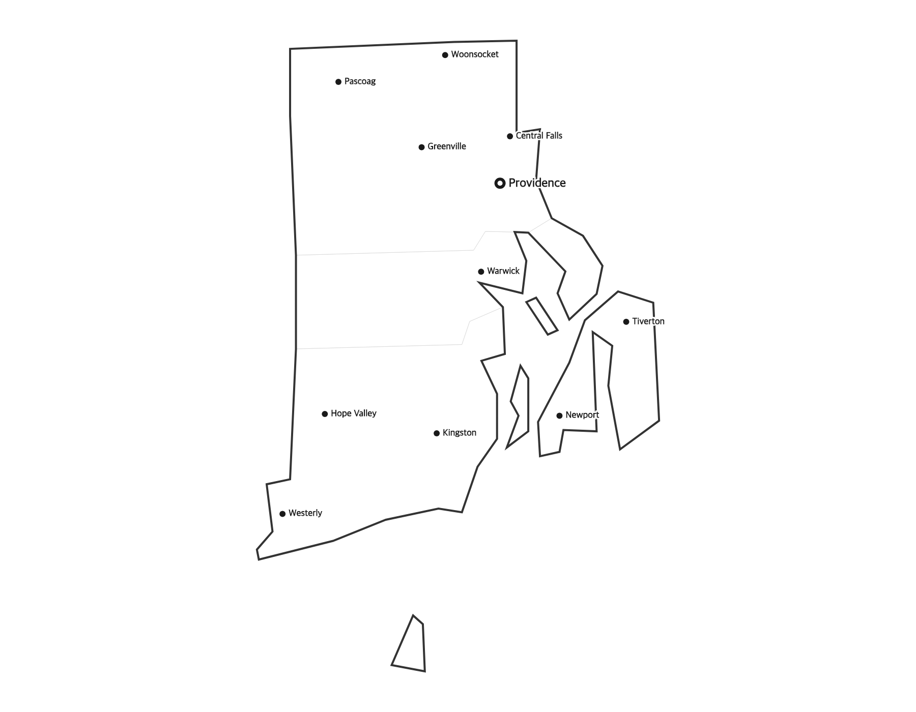
About This Rhode Island Map
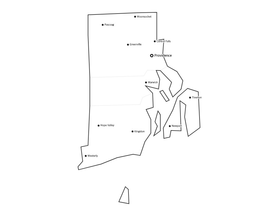
This free printable map of Rhode Island shows the state's major cities, including Providence, Cranston, Warwick, Pawtucket, East Providence, along with the state capital Providence (marked in red). County boundaries are shown as light lines for geographic context. Rhode Island, known as the "Ocean State," has 5 counties.
How to Print
Click "Download PDF" for a print-ready file that automatically fits US Letter paper (8.5" × 11") with proper margins. Or download the high-resolution PNG to use in presentations, worksheets, or other documents.
Classroom Ideas
Use this map as a study reference or desk reference for Rhode Island geography. Pair it with our blank Rhode Island map for testing — students label cities and the capital from memory, then check against this reference.
Cities on This Rhode Island Map
This map labels Rhode Island's largest cities, led by the capital Providence, along with Cranston, Warwick, Pawtucket, East Providence, and Woonsocket near the Massachusetts line. Because Rhode Island is the smallest state, most of its cities cluster close together around Narragansett Bay. The capital is marked with a red dot.
Rhode Island Geography at a Glance
Rhode Island is the smallest U.S. state by area. It borders Connecticut to the west and Massachusetts to the north and east, with the Atlantic Ocean to the south. Its defining feature is Narragansett Bay, which reaches deep into the state and holds more than 30 islands, including Aquidneck Island (home to Newport). Block Island lies offshore to the south.
Teaching Ideas for This Map
Ask students to outline Narragansett Bay, locate the capital and the coastline, or discuss why the country's smallest state still has a busy shoreline. Use it with the blank Rhode Island map to label the five counties and the capital, then check against this reference.
Frequently Asked Questions
What are the largest cities in Rhode Island?
The largest cities in Rhode Island by population include Providence, Cranston, Warwick, Pawtucket, East Providence. The state capital is Providence.
What is the capital of Rhode Island?
The capital of Rhode Island is Providence. It is marked with a red dot on this map.
What paper size should I use?
This map is designed for standard US Letter paper (8.5" × 11"). The PDF download automatically fits the map to your page with proper margins.
How many counties does Rhode Island have?
Rhode Island has five counties — Providence, Kent, Washington, Newport, and Bristol — though they have no county-level government. The capital, Providence, is in Providence County.
Is Rhode Island the smallest state?
Yes. Rhode Island is the smallest U.S. state by land area, though it is not the least populated. It borders Connecticut and Massachusetts, with the Atlantic Ocean to the south.
What is the largest city in Rhode Island?
Providence is both the capital and the largest city in Rhode Island, followed by Cranston and Warwick.