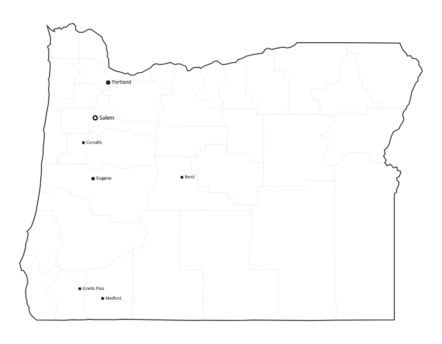
Free Printable Oregon Map with Cities
Free printable map of Oregon showing major cities, the state capital Salem, and county boundaries. Perfect for geography study, classroom use, and reference.
About This Oregon Map
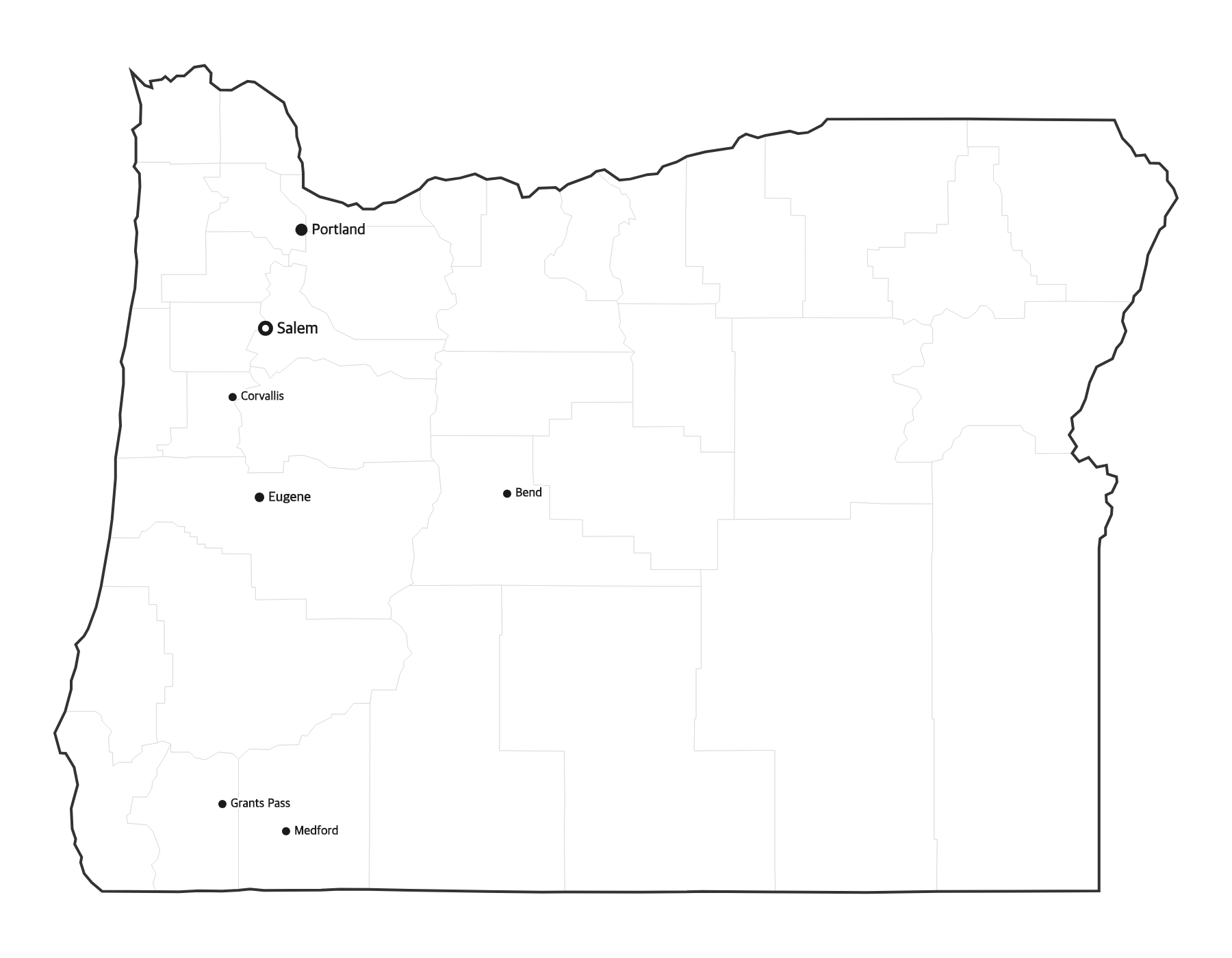
This free printable map of Oregon shows the state's major cities, including Portland, Eugene, Salem, Gresham, Hillsboro, along with the state capital Salem (marked in red). County boundaries are shown as light lines for geographic context. Oregon, known as the "Beaver State," has 36 counties.
How to Print
Click "Download PDF" for a print-ready file that automatically fits US Letter paper (8.5" × 11") with proper margins. Or download the high-resolution PNG to use in presentations, worksheets, or other documents.
Classroom Ideas
Use this map as a study reference or desk reference for Oregon geography. Pair it with our blank Oregon map for testing — students label cities and the capital from memory, then check against this reference.
Cities on This Oregon Map
This map labels Oregon's largest cities, led by Portland in the north, the capital Salem and college town Eugene in the Willamette Valley, the Portland suburbs of Gresham, Hillsboro, and Beaverton, and Bend in the high desert east of the Cascades. The state capital is marked with a red dot.
Oregon Geography at a Glance
Oregon sits in the Pacific Northwest, bordered by Washington to the north across the Columbia River, Idaho to the east along the Snake River, Nevada and California to the south, and the Pacific Ocean to the west. The Cascade Range splits the green, rainy western valleys from the high desert of the east. Mount Hood is the state's highest point, and Crater Lake is the deepest lake in the United States.
Teaching Ideas for This Map
Ask students to trace the Columbia River along the northern border, locate the capital and the Pacific coastline, or compare the wet Willamette Valley with the dry high desert east of the Cascades. Use it with the blank Oregon map to label the 36 counties and the capital, then check against this reference.
Frequently Asked Questions
What are the largest cities in Oregon?
The largest cities in Oregon by population include Portland, Eugene, Salem, Gresham, Hillsboro. The state capital is Salem.
What is the capital of Oregon?
The capital of Oregon is Salem. It is marked with a red dot on this map.
What paper size should I use?
This map is designed for standard US Letter paper (8.5" × 11"). The PDF download automatically fits the map to your page with proper margins.
How many counties does Oregon have?
Oregon has 36 counties. The capital, Salem, is located in Marion County in the Willamette Valley.
What region of the United States is Oregon in?
Oregon is in the Pacific Northwest. It borders Washington, Idaho, Nevada, and California, with the Pacific Ocean to the west.
What is the largest city in Oregon?
Portland is the largest city in Oregon. The capital, Salem, is the third-largest, after Portland and Eugene.