
Colorado State Report Kit
Everything a student needs to research and write a report on Colorado: the reading, the maps and the pages to fill in. Nothing else to look up.
- 3 reading pages: Colorado fun facts, History, and Land and Work
- 5 maps: landmarks, cities, county, outline, and rivers and lakes
- An 8-page My State Report booklet, from fast facts to a trip plan and a license plate to design
- A pennant to cut out and hang, two map skills sheets and a 10-question reading quiz
- Answer keys for the quiz, the fast facts and the map sheets
- One print-ready PDF, 23 pages, black and white, US Letter
Look inside
Read it, map it, write it.
The reading pages and maps hold every answer the booklet asks for. About one third of the booklet is looking things up. The rest asks students to choose, plan and explain.

What is in the Colorado kit
To read and study
- Colorado fun facts: six short true stories, By the Numbers and Did You Know
- History: the state’s story in order, with a timeline, people to know and words to know
- Land and Work: the land and climate, what the state grows, makes and mines, and how one leads to the other
- Five maps, including a rivers, lakes and neighbors map with a letter key
To fill in and make
- My State Report booklet: cover, Fast Facts, My Map, State Symbols, My Trip, Think Like a Geographer, Design a License Plate and Dig Deeper
- A pennant with the state’s name and outline, to color, cut out and hang
- Name the Cities and Name the Rivers and Lakes sheets, each with a word bank
- A 10-question reading quiz, with answer keys for everything that has one right answer
Free: the Colorado History reading page
One page on the history of Colorado for grades 3 to 5, free to print in color or black and white. It is the second reading page in the kit.
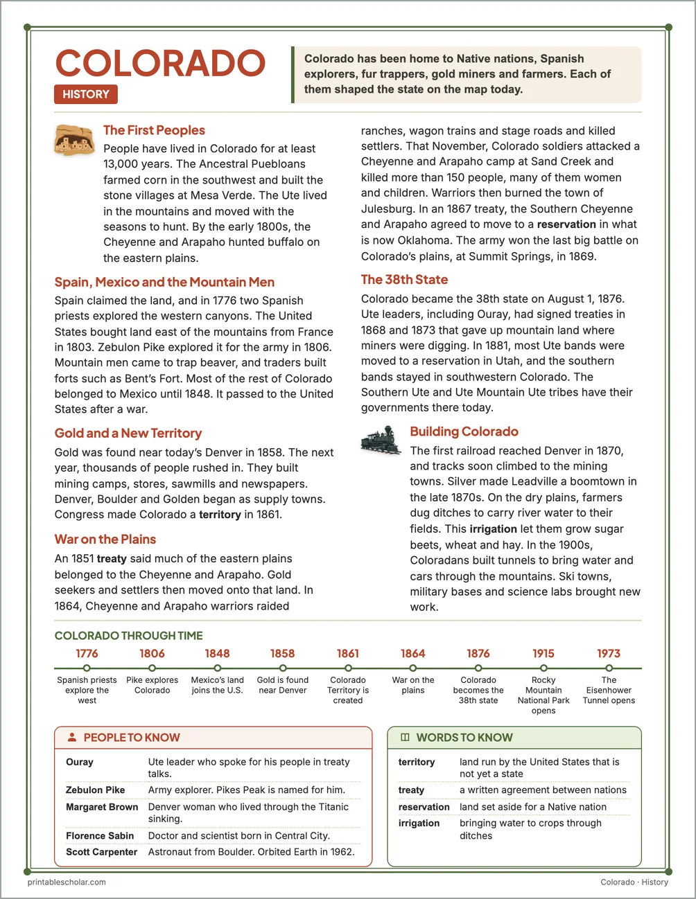
The First Peoples
People have lived in Colorado for at least 13,000 years. The Ancestral Puebloans farmed corn in the southwest and built the stone villages at Mesa Verde. The Ute lived in the mountains and moved with the seasons to hunt. By the early 1800s, the Cheyenne and Arapaho hunted buffalo on the eastern plains.
Spain, Mexico and the Mountain Men
Spain claimed the land, and in 1776 two Spanish priests explored the western canyons. The United States bought land east of the mountains from France in 1803. Zebulon Pike explored it for the army in 1806. Mountain men came to trap beaver, and traders built forts such as Bent’s Fort. Most of the rest of Colorado belonged to Mexico until 1848. It passed to the United States after a war.
Gold and a New Territory
Gold was found near today’s Denver in 1858. The next year, thousands of people rushed in. They built mining camps, stores, sawmills and newspapers. Denver, Boulder and Golden began as supply towns. Congress made Colorado a territory in 1861.
War on the Plains
An 1851 treaty said much of the eastern plains belonged to the Cheyenne and Arapaho. Gold seekers and settlers then moved onto that land. In 1864, Cheyenne and Arapaho warriors raided ranches, wagon trains and stage roads and killed settlers. That November, Colorado soldiers attacked a Cheyenne and Arapaho camp at Sand Creek and killed more than 150 people, many of them women and children. Warriors then burned the town of Julesburg. In an 1867 treaty, the Southern Cheyenne and Arapaho agreed to move to a reservation in what is now Oklahoma. The army won the last big battle on Colorado’s plains, at Summit Springs, in 1869.
The 38th State
Colorado became the 38th state on August 1, 1876. Ute leaders, including Ouray, had signed treaties in 1868 and 1873 that gave up mountain land where miners were digging. In 1881, most Ute bands were moved to a reservation in Utah, and the southern bands stayed in southwestern Colorado. The Southern Ute and Ute Mountain Ute tribes have their governments there today.
Building Colorado
The first railroad reached Denver in 1870, and tracks soon climbed to the mining towns. Silver made Leadville a boomtown in the late 1870s. On the dry plains, farmers dug ditches to carry river water to their fields. This irrigation let them grow sugar beets, wheat and hay. In the 1900s, Coloradans built tunnels to bring water and cars through the mountains. Ski towns, military bases and science labs brought new work.
Colorado through time
- 1776 Spanish priests explore the west
- 1806 Pike explores Colorado
- 1848 Mexico’s land joins the U.S.
- 1858 Gold is found near Denver
- 1861 Colorado Territory is created
- 1864 War on the plains
- 1876 Colorado becomes the 38th state
- 1915 Rocky Mountain National Park opens
- 1973 The Eisenhower Tunnel opens
People to know
- Ouray: Ute leader who spoke for his people in treaty talks.
- Zebulon Pike: Army explorer. Pikes Peak is named for him.
- Margaret Brown: Denver woman who lived through the Titanic sinking.
- Florence Sabin: Doctor and scientist born in Central City.
- Scott Carpenter: Astronaut from Boulder. Orbited Earth in 1962.
Free Colorado maps
Each of these maps is free to print on its own page. The kit puts them in one file with the reading pages and the booklet.