Arkansas Landmarks Map
A free printable illustrated map of Arkansas for kids. It shows 8 landmarks and natural places and 4 industries where they really are, along with the state symbols, 5 cities and a box of key facts. It comes in color and in ink-saving black and white, sized for US Letter paper.
downloadColor PDF downloadBlack and white PDF
Choose your version
Color or black and white.
Both are free, sized for US Letter paper, and come as a PDF to print or a PNG image for slides.
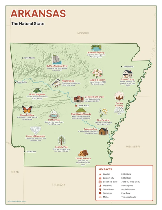
Color
The full-color map, for a wall display or a color printer.

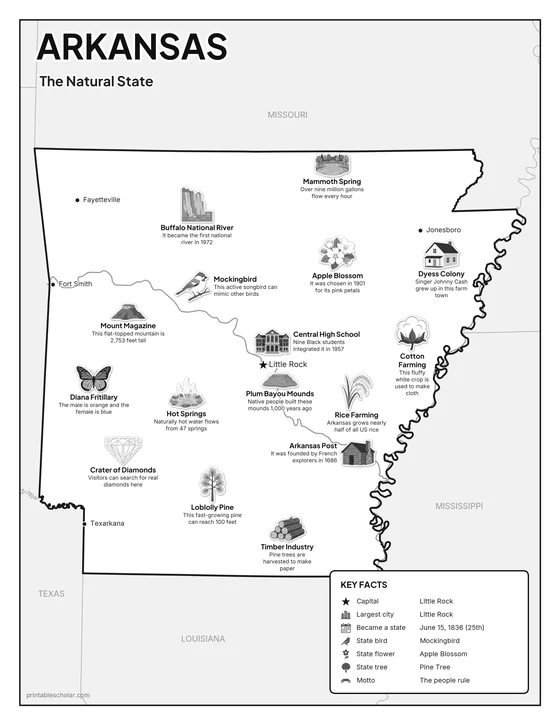
Black and white
The same map with no color or shading. Prints cleanly on a classroom printer and saves ink.

What is on the Arkansas map
Every picture sits at its real location in Arkansas, with a one-line fact beside it. Little Rock, the capital, is marked with a star.
Landmarks and natural places
- Buffalo National River: It became the first national river in 1972.
- Mammoth Spring: Over nine million gallons flow every hour.
- Mount Magazine: This flat-topped mountain is 2,753 feet tall.
- Hot Springs: Naturally hot water flows from 47 springs.
- Central High School: Nine Black students integrated it in 1957.
- Arkansas Post: It was founded by French explorers in 1686.
- Plum Bayou Mounds: Native people built these mounds 1,000 years ago.
- Dyess Colony: Singer Johnny Cash grew up in this farm town.
What Arkansas makes and grows
- Rice Farming: Arkansas grows nearly half of all US rice.
- Crater of Diamonds: Visitors can search for real diamonds here.
- Timber Industry: Pine trees are harvested to make paper.
- Cotton Farming: This fluffy white crop is used to make cloth.
State symbols
- Apple Blossom: It was chosen in 1901 for its pink petals.
- Mockingbird: This active songbird can mimic other birds.
- Diana Fritillary: The male is orange and the female is blue.
- Loblolly Pine: This fast-growing pine can reach 100 feet.
Arkansas key facts
From the box on the map
- Nickname
- The Natural State
- Capital
- Little Rock
- Largest city
- Little Rock
- Became a state
- June 15, 1836 (25th)
- State bird
- Mockingbird
- State flower
- Apple Blossom
- State tree
- Pine Tree
- Motto
- The people rule
Cities shown
- Little Rock (capital)
- Fort Smith
- Fayetteville
- Jonesboro
- Texarkana
The outline, rivers and cities are drawn from map data. Pictures of crops and industries are placed in a part of the state where each is typical.