Free Printable Mississippi Map with Cities
Free printable map of Mississippi showing major cities, the state capital Jackson, and county boundaries. Perfect for geography study, classroom use, and reference.
About This Mississippi Map
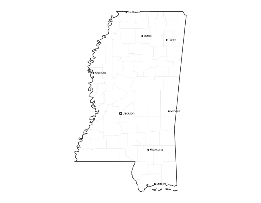
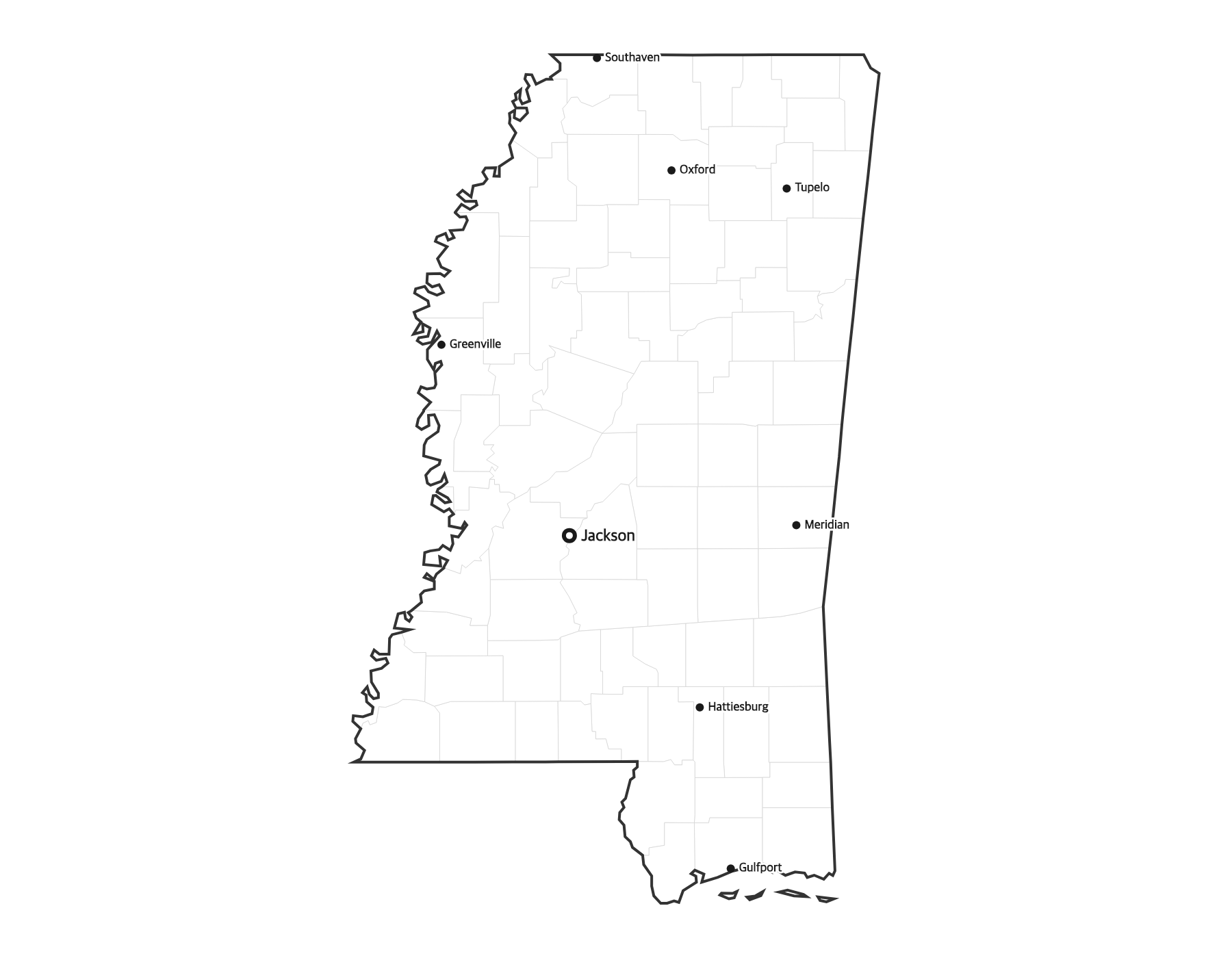
This free printable map of Mississippi shows the state's major cities, including Jackson, Gulfport, Southaven, Biloxi, Hattiesburg, along with the state capital Jackson (marked in red). County boundaries are shown as light lines for geographic context. Mississippi, known as the "Magnolia State," has 82 counties.
How to Print
Click "Download PDF" for a print-ready file that automatically fits US Letter paper (8.5" × 11") with proper margins. Or download the high-resolution PNG to use in presentations, worksheets, or other documents.
Classroom Ideas
Use this map as a study reference or desk reference for Mississippi geography. Pair it with our blank Mississippi map for testing — students label cities and the capital from memory, then check against this reference.
Cities on This Mississippi Map
This map labels Mississippi's largest cities, including the capital Jackson in the center of the state, the Gulf Coast cities of Gulfport and Biloxi, Southaven in the Memphis suburbs to the north, Hattiesburg in the southeast, and Meridian near the Alabama line. The state capital is marked with a red dot.
Mississippi Geography at a Glance
Mississippi lies in the Deep South, bordered by Tennessee to the north, Alabama to the east, the Gulf of Mexico to the south, and Louisiana and Arkansas to the west. The Mississippi River forms its entire western border and gives the state its name. The fertile Mississippi Delta spreads across the northwest, while sandy beaches line the Gulf Coast in the south.
Teaching Ideas for This Map
Have students trace the Mississippi River along the western border, locate the capital and the Gulf Coast, or shade the Delta region in the northwest. Pair this reference with the blank Mississippi map so learners can label the 82 counties and the capital from memory, then self-check.
Frequently Asked Questions
What are the largest cities in Mississippi?
The largest cities in Mississippi by population include Jackson, Gulfport, Southaven, Biloxi, Hattiesburg. The state capital is Jackson.
What is the capital of Mississippi?
The capital of Mississippi is Jackson. It is marked with a red dot on this map.
What paper size should I use?
This map is designed for standard US Letter paper (8.5" × 11"). The PDF download automatically fits the map to your page with proper margins.
How many counties does Mississippi have?
Mississippi has 82 counties. The capital, Jackson, is located in Hinds County in the central part of the state.
What region of the United States is Mississippi in?
Mississippi is in the Deep South. It borders Tennessee, Alabama, Louisiana, and Arkansas, with the Gulf of Mexico to the south.
What is the largest city in Mississippi?
Jackson, the state capital, is the largest city in Mississippi, followed by Gulf Coast and Memphis-area cities such as Gulfport and Southaven.