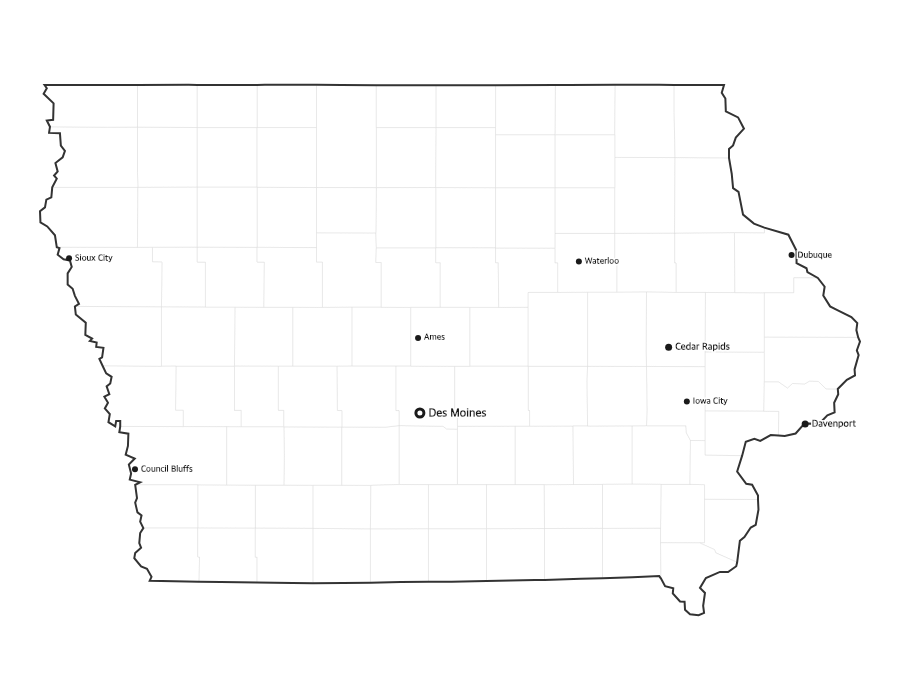
Free Printable Iowa Map with Cities
Free printable map of Iowa showing major cities, the state capital Des Moines, and county boundaries. Perfect for geography study, classroom use, and reference.
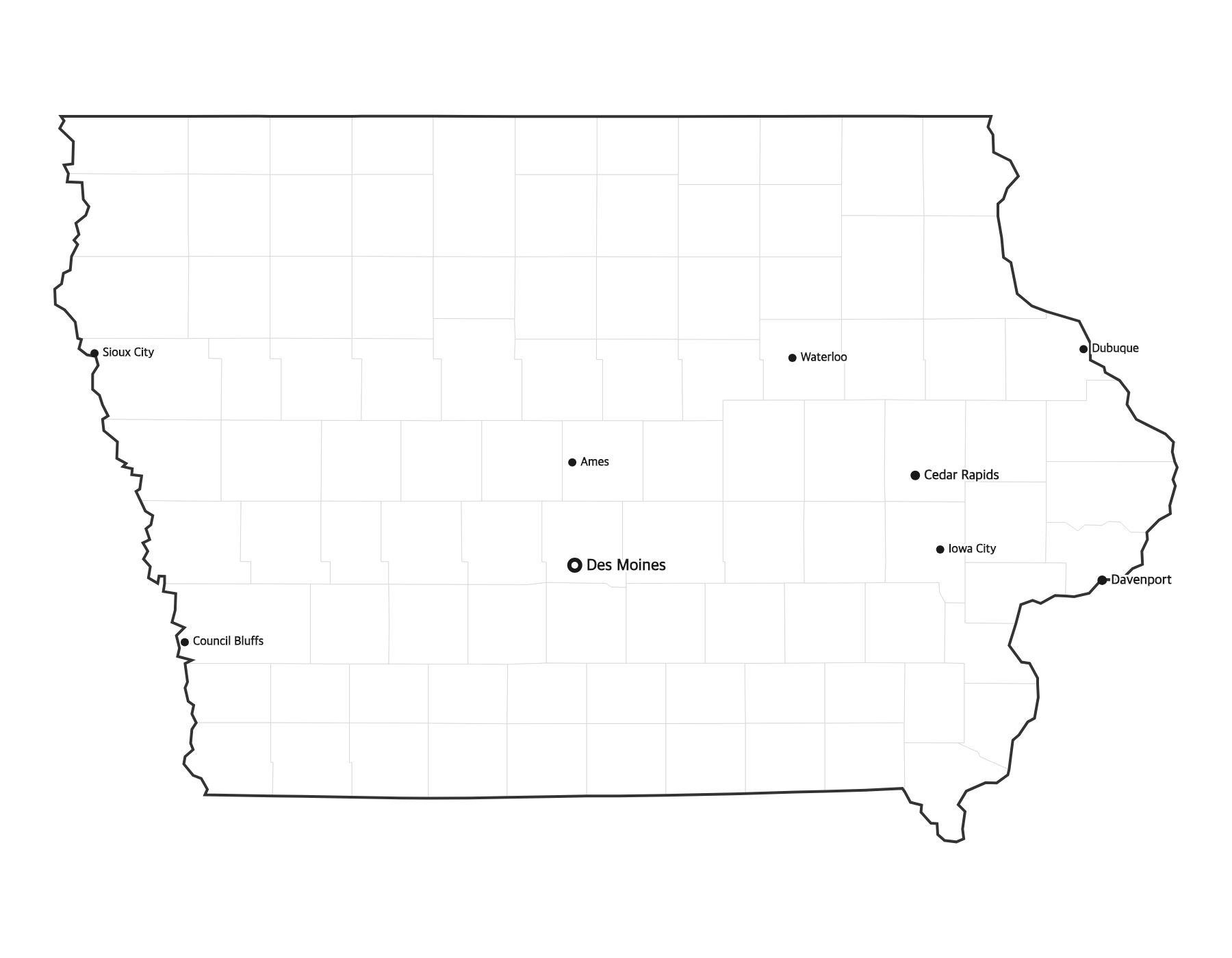
About This Iowa Map
This free printable map of Iowa shows the state's major cities, including Des Moines, Cedar Rapids, Davenport, Sioux City, Iowa City, along with the state capital Des Moines (marked in red). County boundaries are shown as light lines for geographic context. Iowa, known as the "Hawkeye State," has 99 counties.
How to Print
Click "Download PDF" for a print-ready file that automatically fits US Letter paper (8.5" × 11") with proper margins. Or download the high-resolution PNG to use in presentations, worksheets, or other documents.
Classroom Ideas
Use this map as a study reference or desk reference for Iowa geography. Pair it with our blank Iowa map for testing — students label cities and the capital from memory, then check against this reference.
Cities on This Iowa Map
This map labels Iowa's largest cities, including the capital Des Moines, Cedar Rapids, the Mississippi River city of Davenport, Sioux City on the western border, and the university town of Iowa City, along with fast-growing suburbs like West Des Moines and Ankeny. The state capital is marked with a red dot.
Iowa Geography at a Glance
Iowa lies in the Midwest's Corn Belt, framed by two great rivers: the Mississippi River forms its entire eastern border, and the Missouri and Big Sioux rivers form the west. It borders Minnesota to the north, Wisconsin and Illinois to the east, Missouri to the south, and Nebraska and South Dakota to the west. The rugged Loess Hills run along the western edge, while the rolling Driftless Area shapes the northeast.
Teaching Ideas for This Map
Ask students to outline the Mississippi and Missouri rivers that border the state, locate the capital and their hometown, or compare eastern and western river cities. Use it alongside the blank Iowa map to label all 99 counties and the capital, then check against this reference.
Frequently Asked Questions
What are the largest cities in Iowa?
The largest cities in Iowa by population include Des Moines, Cedar Rapids, Davenport, Sioux City, Iowa City. The state capital is Des Moines.
What is the capital of Iowa?
The capital of Iowa is Des Moines. It is marked with a red dot on this map.
What paper size should I use?
This map is designed for standard US Letter paper (8.5" × 11"). The PDF download automatically fits the map to your page with proper margins.
How many counties does Iowa have?
Iowa has 99 counties. The state capital, Des Moines, sits in Polk County in the center of the state.
What region of the United States is Iowa in?
Iowa is in the Midwest, in the Corn Belt. It borders Minnesota, Wisconsin, Illinois, Missouri, Nebraska, and South Dakota.
Which rivers border Iowa?
The Mississippi River forms Iowa's entire eastern border, and the Missouri and Big Sioux rivers form its western border.