How to Teach Asian Geography to Homeschoolers: A 6-Week Free Map Curriculum
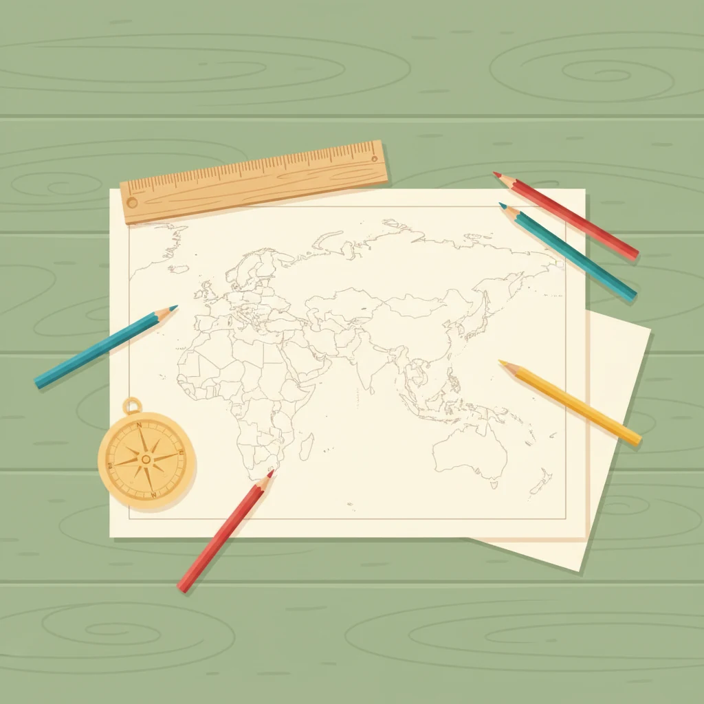
Most "teach your kid geography" plans collapse into a memorization drill — flashcards of country names, then a quiz, then back to the next subject. Asia is the continent where that approach fails fastest. It's the largest continent by both land area and population, holds the most countries of any region after Africa, and contains every climate zone from arctic tundra to tropical rainforest. A flashcard quiz of forty-eight country names doesn't survive contact with that complexity. A six-week sequence built around blank printable maps does.
This is the curriculum we use at Printable Scholar to teach Asian geography to homeschool families — sequenced so that each week's work makes the next week easier, and built around free printable map worksheets you can pull from our printable maps library. It's designed for kids roughly grades 3 through 8, with adjustment notes at the end for younger and older learners. Total time commitment: about thirty minutes a day, four days a week, for six weeks. At the end your child can locate every Asian country on a blank map, name its capital, identify its major rivers and mountains, and explain why it sits where it does.
Why blank maps, not labeled ones
If you only remember one thing from this post, remember this: a labeled map is a reference document, not a teaching tool. When a child reads a fully labeled map of Asia, the brain treats the page like a sign — it confirms what's there, registers vaguely that the information exists, and moves on. Nothing has to be retrieved from memory because nothing was ever stored. Two days later the child can't find Mongolia on a blank outline.
A blank map flips the cognitive work. The child has to retrieve, decide, and mark — three small acts of effort that turn each country into a memory anchor rather than a passive impression. This is the same retrieval-practice principle that Reading Rockets uses for vocabulary acquisition and NCTM recommends for math facts: testing yourself on what you're learning is the learning, not a measurement of it.
This is also why our entire printable maps catalog is built around blank outlines drawn from real cartographic data — the same Natural Earth boundaries and U.S. Census shapefiles that actual atlases use. A traceable, accurate outline of Asia is the substrate. Everything you teach on top of it is layered over weeks, not crammed onto a single labeled reference sheet.
What you need before week 1
The whole curriculum runs on six printables and a handful of common supplies. Print the maps double-sided to save paper, or laminate the master copies and let your child use dry-erase markers across multiple sessions.
- The continent-of-Asia base map. Our blank printable map of Asia is the spine of the curriculum — print at least four copies (one per layering pass: countries, capitals, rivers, physical features).
- A world map for context. Used week 1 to place Asia in global context. Any world outline works; ours is in the main maps catalog.
- Five colored pencils in distinct colors — one per Asian region (East, Southeast, South, Central, West). Keep the color assignments consistent across all weeks.
- A ruler and a fine-tip pen for week 4's river-and-mountain tracing.
- A pocket folder or three-ring binder. If you've read our post on organizing homeschool printables, slot this as a six-week mini-unit inside your geography or social studies binder. If you haven't, today is a good day to start one.
- One reference atlas — a physical book, a library checkout, or a trustworthy online atlas. Your child looks things up in it; they don't read it cover-to-cover.
Week 1: Place Asia on the world
Goal: Your child can describe where Asia sits relative to the other continents and identify its five major regions.
Day 1. Print one world map. Have your child shade Asia in one color. Discuss what oceans border it (Pacific east, Indian south, Arctic north) and what continents touch it (Europe to the west, Africa via the Sinai land bridge). This is the only time the conversation happens at the world-map scale — every subsequent day zooms into Asia itself.
Day 2. Print one blank Asia map. Introduce the five subregions: East Asia, Southeast Asia, South Asia, Central Asia, West Asia (sometimes called the Middle East). Color each region a different color and label only the region names. Don't add countries yet.
Day 3. Repeat day 2 on a fresh blank Asia map, from memory. Then check against the labeled version. Note which regions were hardest to place — those get a return visit later in the week.
Day 4. Choose one region and write three sentences about it: where it is (relative direction), what its climate is broadly like, and one thing the region is known for. Keep the writing in a notebook or on the back of the map. This is the week's "anchor fact" — a hook for memory.
Week 2: Add the countries, one region at a time
Goal: Your child can locate every Asian country on a blank map and assign it to the correct region.
Day 1 — East Asia. On a fresh blank Asia map, add the seven East Asian countries (China, Mongolia, North Korea, South Korea, Japan, Taiwan — plus Hong Kong and Macau as Special Administrative Regions of China). Use the same color you assigned East Asia in week 1.
Day 2 — South + Southeast Asia. Add South Asia (India, Pakistan, Bangladesh, Nepal, Bhutan, Sri Lanka, Maldives) and Southeast Asia (Thailand, Vietnam, Cambodia, Laos, Myanmar/Burma, Malaysia, Singapore, Indonesia, Philippines, Brunei, Timor-Leste).
Day 3 — Central + West Asia. Add Central Asia (Kazakhstan, Uzbekistan, Turkmenistan, Kyrgyzstan, Tajikistan, Afghanistan) and West Asia (Turkey, Syria, Lebanon, Israel, Jordan, Saudi Arabia, Yemen, Oman, UAE, Qatar, Bahrain, Kuwait, Iraq, Iran, plus the South Caucasus countries — Georgia, Armenia, Azerbaijan — when included as Asia).
Day 4 — Retrieval check. Hand your child a fresh, completely blank map. They label every country from memory, then check against the master. Whatever they missed becomes the focus of week 3's warm-up.
Week 3: Capitals
Goal: Your child can name and place the capital of every Asian country.
Capitals are where the temptation to drill-and-quiz is strongest, and where it works the worst. The trick is to pair every capital with its country in the same act of placement, not as a separate flashcard fact.
Day 1. Country-by-country, walk through East and Southeast Asia. For each country, your child marks the capital on the map with a small dot and writes its name. Pronounce capitals out loud (this matters — written-only learning skips an entire memory channel).
Day 2. Same exercise for South, Central, and West Asia.
Day 3 — Group by pattern. Have your child notice patterns: capitals that share names with their country (Kuwait City, Djibouti, Singapore), capitals that are recently moved or planned cities (Naypyidaw, Astana/Nur-Sultan, Islamabad), capitals built around historic river systems. Patterns are memory glue.
Day 4 — Retrieval check. Blank map. Country names AND capitals from memory.
Week 4: Rivers and mountain ranges
Goal: Your child can trace and name the major rivers and mountain ranges that shape Asian geography.
This is the week the curriculum stops being a names-and-places exercise and starts becoming geography. Rivers and mountains explain almost everything about why people live where they do, and the patterns are stunningly consistent — capitals on rivers, populations clustered along river valleys, borders that follow watersheds.
Day 1 — Rivers. On a fresh blank Asia map, trace the major rivers in blue: Yangtze and Yellow (China), Mekong (Southeast Asia), Ganges and Indus (South Asia), Brahmaputra, Tigris and Euphrates (West Asia), Amur (China/Russia border). Discuss which rivers cross multiple countries — and which countries depend on them.
Day 2 — Mountains. Add the major ranges in brown or grey: the Himalayas, the Hindu Kush, the Pamirs, the Tien Shan, the Urals, the Zagros, the Japanese Alps. Note where mountains form natural borders.
Day 3 — Cross-reference. Compare today's physical map to last week's capitals map. How many capitals sit on a major river? (Most of them.) Why?
Day 4 — Retrieval check. From memory: rivers, mountains, and how they connect to the country borders from week 2. This is the hardest retrieval check of the curriculum. Expect mistakes. Expect engagement.
Week 5: Climate, population, and the "why here" question
Goal: Your child can answer "why do people live where they do in Asia?" using rivers, climate, and physical features.
This is the synthesis week. The map work loosens, and the questions sharpen.
Day 1 — Climate zones. Add three broad climate regions to the map: monsoon Asia (south and southeast), arid Asia (west and central), and the cold north (Siberia, Mongolian steppe, Tibetan plateau). Use a different color or hatching pattern for each.
Day 2 — Population density overlay. Talk through where the largest population concentrations are: the Ganges plain, the eastern Chinese coast, the Japanese archipelago, the Java island in Indonesia. Have your child shade these in a fourth color and then explain — in their own words — why people cluster there. Rivers, arable land, mild climate, coastal trade.
Day 3 — Connection writing. Pick one country your child finds interesting. Write a paragraph that connects its location, climate, rivers, and population. This is the assessment that matters more than any quiz: can your child tell a story about a place?
Day 4 — Open exploration. Pull out the reference atlas and let your child wander. The retrieval work of the prior four weeks has earned the right to free curiosity.
Week 6: The tour-the-continent project
Goal: Your child plans an imaginary trip across Asia that uses everything from weeks 1–5.
The week-6 project is the test that doesn't feel like a test. Your child plans a six-stop trip across the Asian continent. Each stop must be in a different region. At each stop they answer five questions: what country am I in, what's the capital, what's the nearest major river, what's the climate like, and what's one thing this place is known for.
Day 1. Pick the six stops. Pull out a fresh blank Asia map and mark each one. The constraint of one-per-region forces continental coverage.
Day 2–3. Research and write the trip itinerary. Two stops per day. Allow the reference atlas, encourage curiosity. This is the work product the curriculum builds toward.
Day 4 — Present. Your child walks you through the itinerary, pointing at locations on a wall-mounted blank Asia map (or the laminated version they've been using all six weeks). The presentation is the assessment.
How to adapt this for grades K–2 and grades 9–12
K–2: shorten to three weeks, drop weeks 3 and 5
For early elementary, the curriculum is too dense — kids don't yet have the retrieval-practice stamina for forty-eight country names. Do week 1 (continent placement and regions), week 2 spread over two weeks (eight to ten countries per session, not the whole region), and week 6 simplified to a three-stop trip. Skip capitals and physical geography for now; they'll land much better in a few years on top of this foundation. Use our K–2 World Explorer pack as a gentler entry point — it's built around large-format outlines and simpler labeling tasks.
Grades 9–12: layer in economics, history, and current events
For high-schoolers, the same six-week sequence still works as a framework, but add a research lens on top. Week 2: add GDP-per-capita rankings to each country. Week 4: research one major historical conflict shaped by a mountain range or river system (the Korean DMZ, partition along the Indus, the Iran-Iraq war along the Shatt al-Arab). Week 5: pick one country and read a current-events article from a major international newspaper, then write 300 words connecting current politics to physical geography. Our 6–8 World Geography pack includes activity guides that can be extended upward without much modification.
Five common mistakes parents make teaching geography
- Starting with capitals. Capitals are the hardest material in the curriculum. Don't lead with them. Place the countries first.
- Using only labeled maps. Labeled maps are reference. Blank maps are learning. Use labeled maps for checking; use blank maps for working.
- Quiz-driven assessment. A weekly "name all 48 countries" test creates anxiety and teaches your child that geography is a memory chore. The week-by-week retrieval checks built into this curriculum are doing the same cognitive work without the stress.
- Mixing too many continents at once. The classic "world geography in a semester" approach moves so fast that nothing settles. One continent per six-week block (or one per semester for younger kids) consolidates far better.
- Treating geography as memorization rather than explanation. The week-5 question — "why do people live where they do?" — is the one that turns trivia into understanding. Don't skip it.
How this fits the rest of your homeschool year
A six-week continent block fits neatly into either a semester schedule (three continents per semester at this pace would cover Asia, Africa, and Europe in fall, then Americas, Oceania, and a review in spring) or a year-long social studies curriculum where geography is one of three rotating focuses. If you keep a curriculum tracker, slot the six weeks as a discrete unit so the work is visible on your year-end portfolio.
The maps and packs we link to throughout this post are the same materials we use ourselves — built around real Natural Earth and Census shapefiles, not AI-generated approximations. If you want to see the rest of how we put together printable curricula, our methodology page walks through the data sources and the standards alignment behind every pack.
Ready to start?
Print this week's first sheet — the blank printable map of Asia — and you've already done day 1 of week 1. The full sequence is six weeks of thirty-minute sessions, four days a week. By the end, your child will know Asian geography better than most adults.