Free Printable Rhode Island Map with Cities
Free printable map of Rhode Island showing major cities, the state capital Providence, and county boundaries. Perfect for geography study, classroom use, and reference.
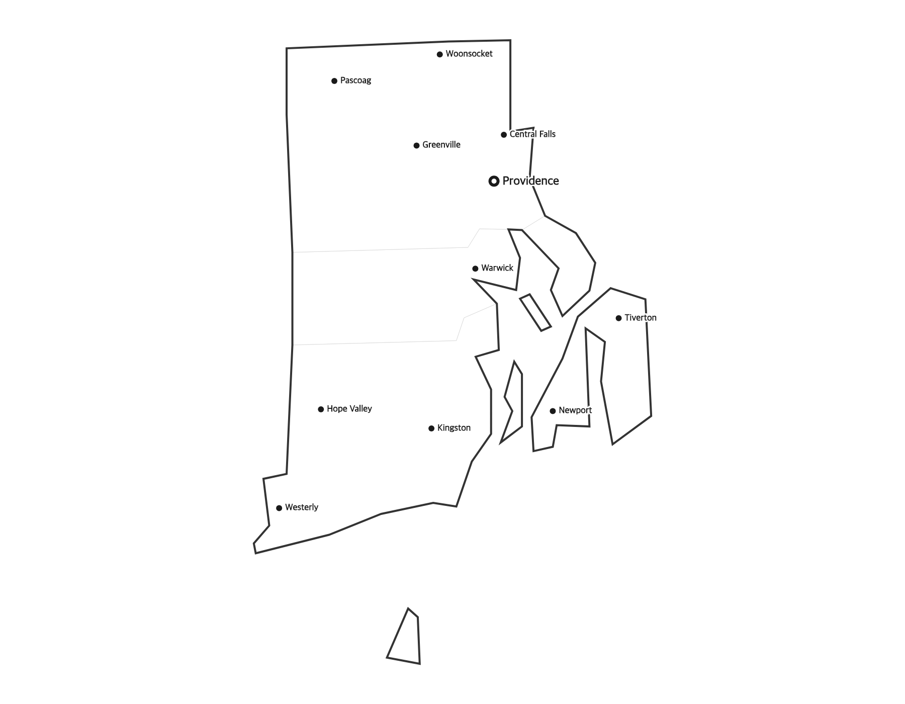
About This Rhode Island Map
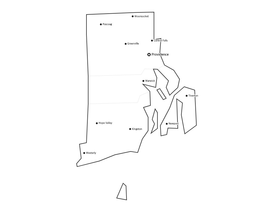
This free printable map of Rhode Island shows the state's major cities, including Providence, Cranston, Warwick, Pawtucket, East Providence, along with the state capital Providence (marked in red). County boundaries are shown as light lines for geographic context. Rhode Island, known as the "Ocean State," has 5 counties.
How to Print
Click "Download PDF" for a print-ready file that automatically fits US Letter paper (8.5" × 11") with proper margins. Or download the high-resolution PNG to use in presentations, worksheets, or other documents.
Classroom Ideas
Use this map as a study reference or desk reference for Rhode Island geography. Pair it with our blank Rhode Island map for testing — students label cities and the capital from memory, then check against this reference.
Frequently Asked Questions
What are the largest cities in Rhode Island?
The largest cities in Rhode Island by population include Providence, Cranston, Warwick, Pawtucket, East Providence. The state capital is Providence.
What is the capital of Rhode Island?
The capital of Rhode Island is Providence. It is marked with a red dot on this map.
What paper size should I use?
This map is designed for standard US Letter paper (8.5" × 11"). The PDF download automatically fits the map to your page with proper margins.