Free homeschool printables, built on real curricula.
Maps from Natural Earth and USGS. Math anchored to Common Core. Phonics built on the Science of Reading framework. We tell you where the data comes from — because most printable sites won’t.
Sources we cite
Featured pillar
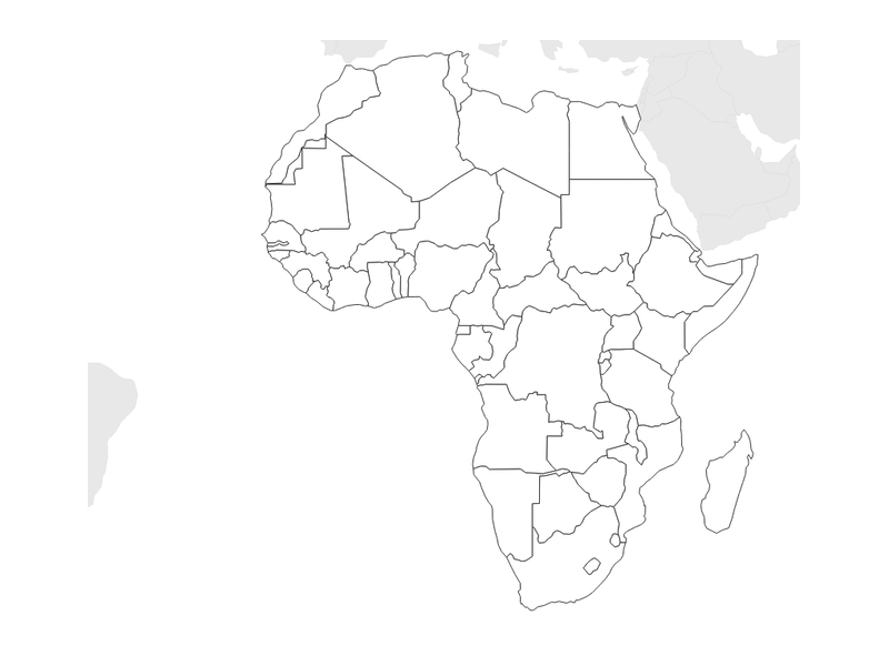
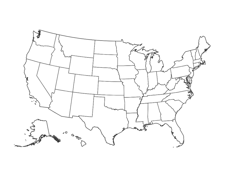
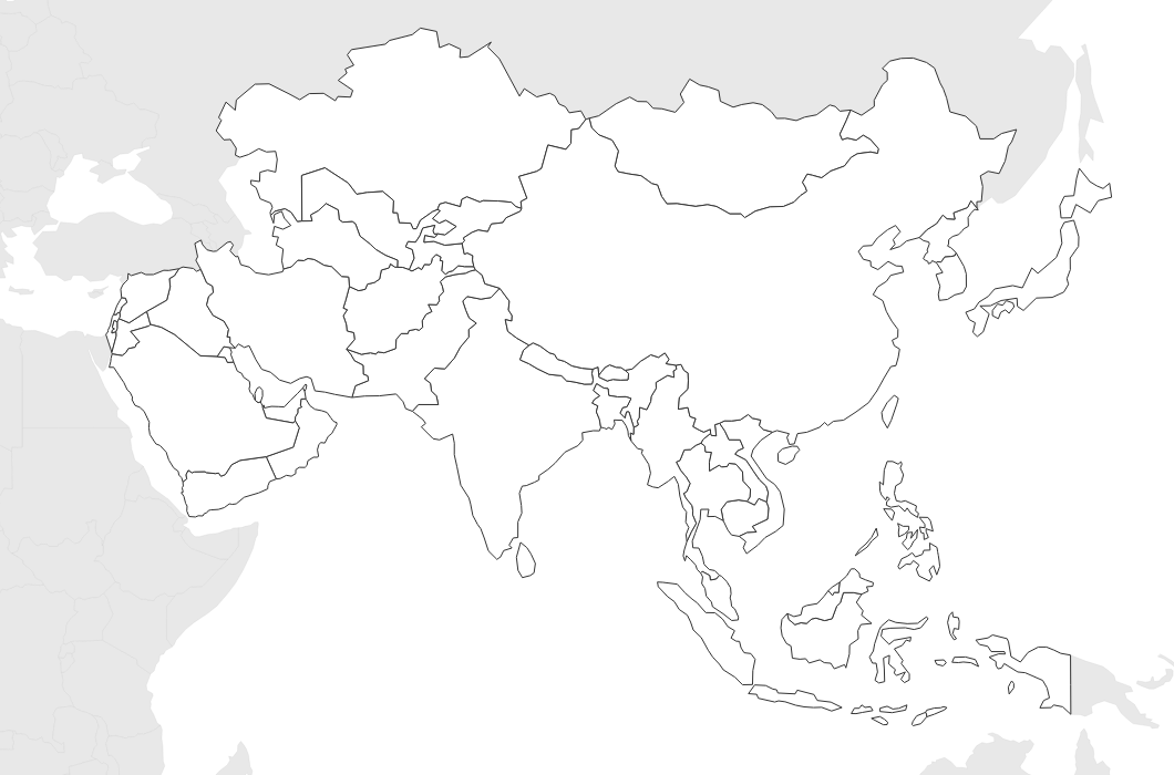
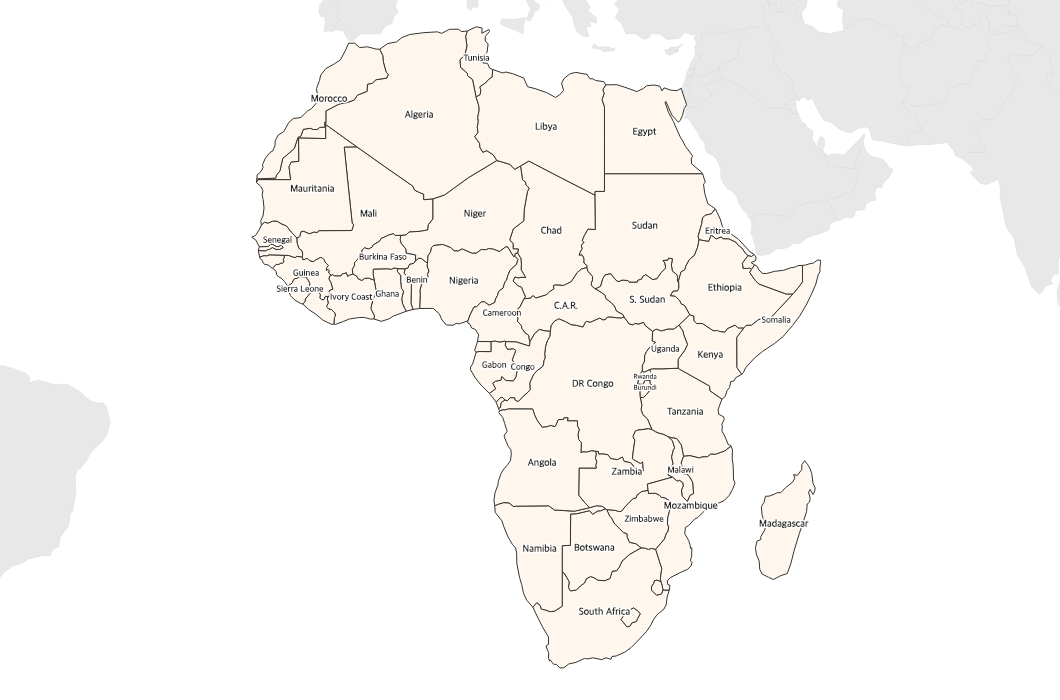
Real cartographic data. Free PDF maps.
Every state, country, and continent — rendered live from Natural Earth, USGS, and US Census TIGER/Line data. Blank outlines, labeled versions, with-capitals variants, with-counties variants. Print-ready PDFs, no sign-up.
Curriculum-aligned
Three more pillars worth your time.
Each one anchored to a real framework. None of them generated from thin air.

Math Worksheets
Multiplication charts, addition drills, times tables. Aligned to Common Core State Standards and NCTM grade-level guidance. Answer keys are computed, not transcribed.
Open math hub arrow_forward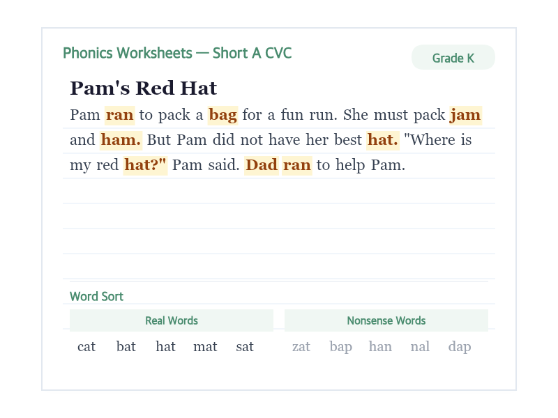
Reading & Phonics
Phonics worksheets, sight words, decodable readers, handwriting practice. Sequencing follows the Reading Rockets / IDA / National Reading Panel framework: CVC → digraphs → blends → vowel teams.
Open reading hub arrow_forward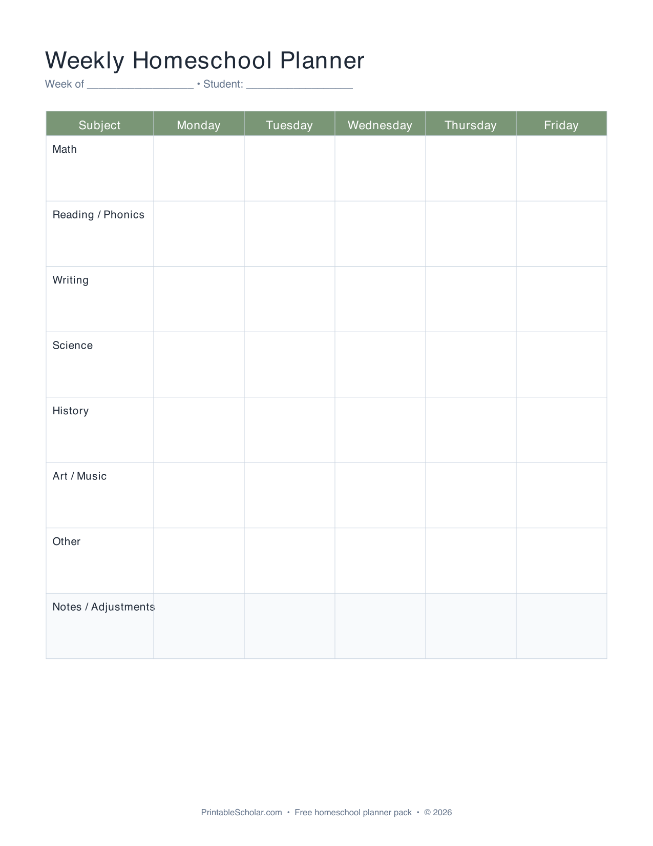
Homeschool Planner
Eight printables that work together: weekly planner, curriculum tracker, attendance log, binder covers, subject labels, supply list, year-at-a-glance, lesson plan template. All undated, all PDF.
Open planner kit arrow_forwardFrom the editorial team
Beyond the printables.
Complete list of sight words by grade (Dolch & Fry)
All 220 Dolch and 1,000 Fry words organized by grade level — with the research on why these specific lists.
How to teach sight words to kindergarteners
Practical methods that actually stick. Flashcards, games, multi-sensory activities, realistic weekly timeline.
Cursive handwriting practice sheets: free A-Z
Free cursive sheets for every letter A-Z, plus connecting letters, words, and sentences. Print-ready PDFs.
We show our work.
Most printable sites won’t tell you where their data comes from — because there isn’t any. Our methodology page lays out every source: Natural Earth for cartography, Common Core for math sequencing, Reading Rockets for phonics, Dolch + Fry for sight words.
Read the methodology arrow_forwardMore free printables
Useful long-tail tools we maintain — not the brand, but free if you need them.