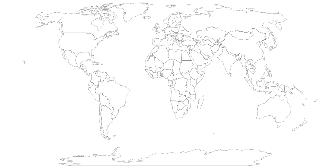
Free Printable Blank World Map
Free printable blank world map with country outlines. No labels — ideal for geography tests, coloring activities, and classroom projects.
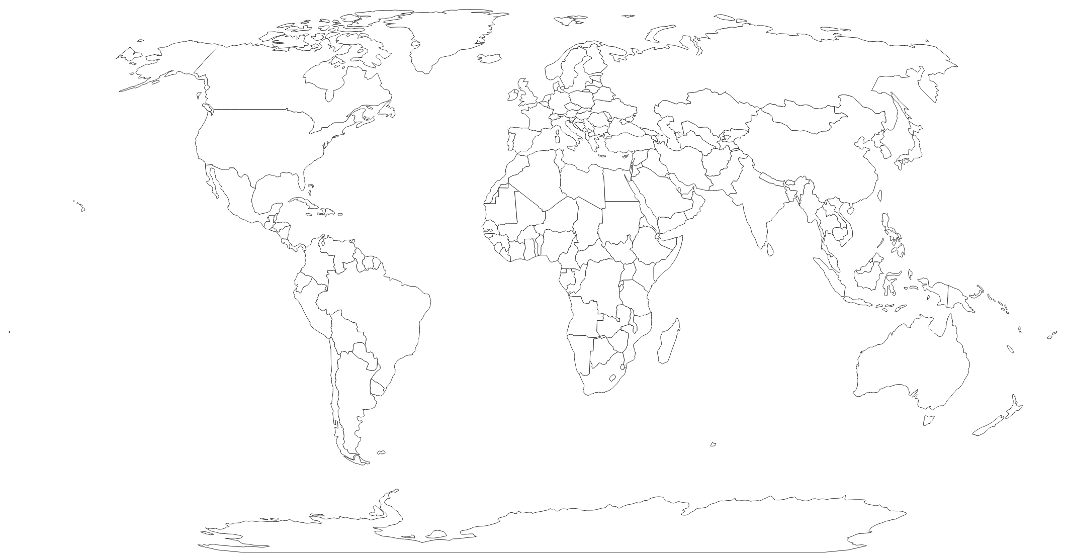
About This World Map
Free printable blank world map with country outlines. No labels — ideal for geography tests, coloring activities, and classroom projects.
How to Use
Print this world map on standard US Letter paper (8.5" × 11") in landscape orientation. The Natural Earth projection provides a balanced view of all continents. Click "Download PDF" for a print-ready file, or "Download PNG" for the image.
Frequently Asked Questions
What projection does this world map use?
This map uses the Natural Earth projection, which balances size accuracy and shape preservation. It's the same projection used in many classroom atlases and textbooks.
Can students color this map by continent?
Yes! The country outlines make it easy to color by continent, region, or any other grouping. It's a popular activity for learning world geography.
How many countries are shown?
This map shows outlines for all internationally recognized countries and territories — over 170 distinct regions.