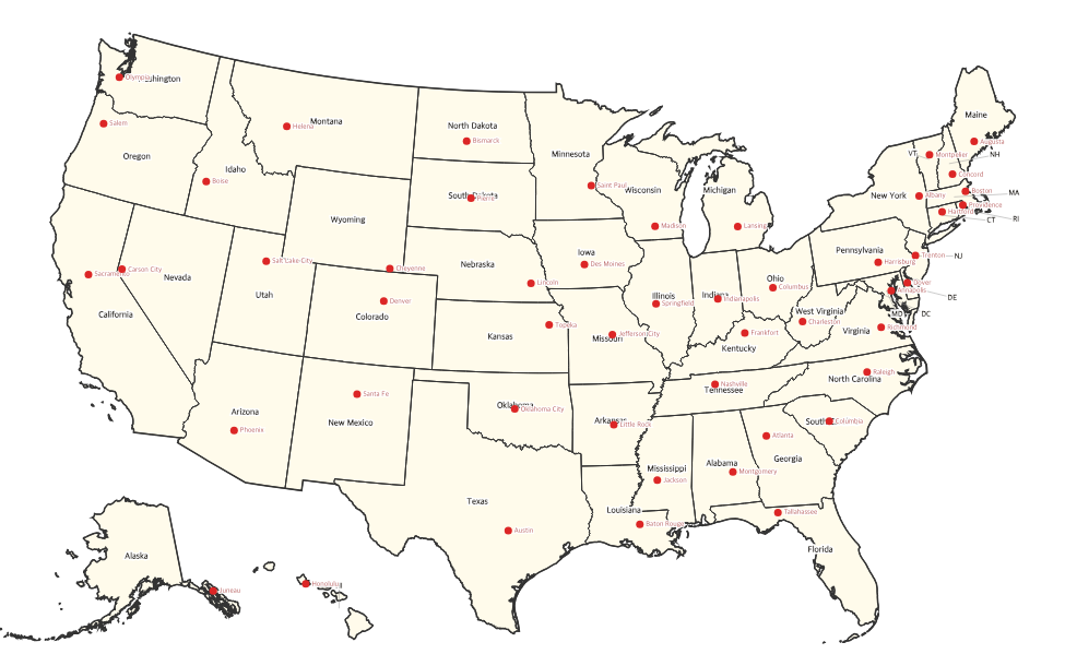
Free Printable US Map with State Capitals
Free printable map of the United States showing all 50 state capitals marked with dots and labels. Perfect for learning US geography and studying for tests.
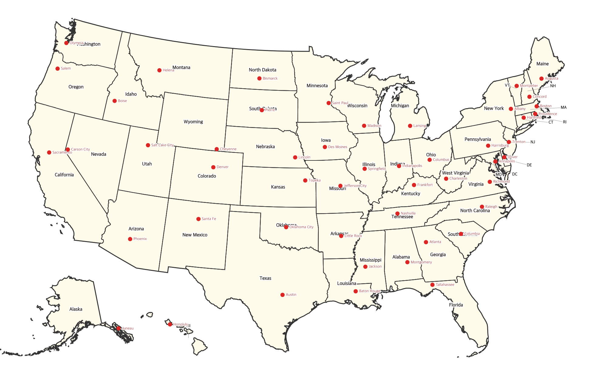
About This US Map
Free printable map of the United States showing all 50 state capitals marked with dots and labels. Perfect for learning US geography and studying for tests.
How to Use
Print this map on standard US Letter paper (8.5" × 11") in landscape orientation for the best results. Click "Download PDF" for a print-ready file that automatically fits your page, or "Download PNG" for the high-resolution image file.
Frequently Asked Questions
Are all 50 state capitals shown?
Yes — every state capital is marked with a red dot and labeled by name. State names are shown alongside for easy reference.
How can I use this to study capitals?
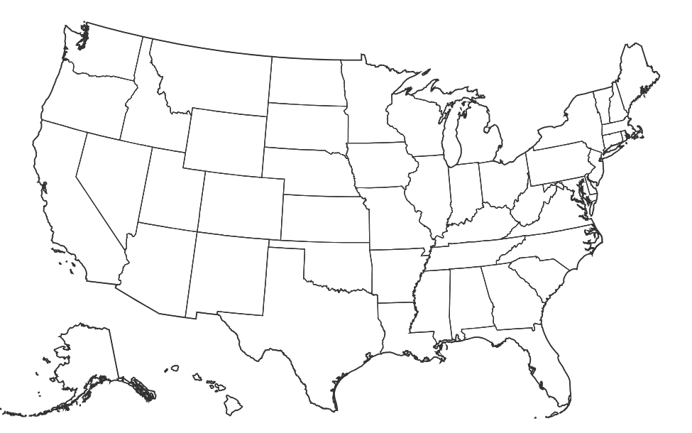
Print one copy as an answer key (this map), then print a blank US map for testing. Try to label all 50 capitals from memory, then check against this reference map.
Why are some capital labels offset from the dot?
In areas where states are close together (like the Northeast), capital labels are positioned to avoid overlapping. Each label still clearly connects to its capital dot.