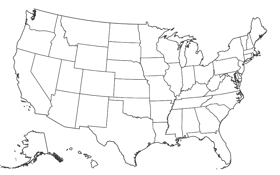
Free Printable Blank Map of the United States
Free printable blank map of the United States with state outlines only. No labels, no names — perfect for geography quizzes, coloring, and classroom activities.
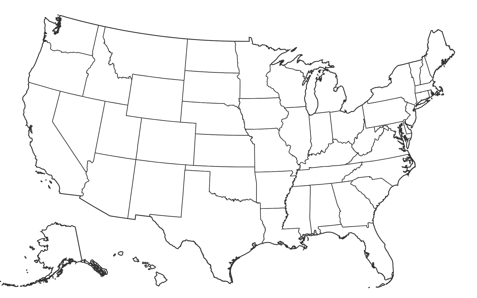
About This US Map
Free printable blank map of the United States with state outlines only. No labels, no names — perfect for geography quizzes, coloring, and classroom activities.
How to Use
Print this map on standard US Letter paper (8.5" × 11") in landscape orientation for the best results. Click "Download PDF" for a print-ready file that automatically fits your page, or "Download PNG" for the high-resolution image file.
Frequently Asked Questions
How do I use a blank US map in the classroom?
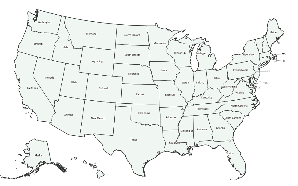
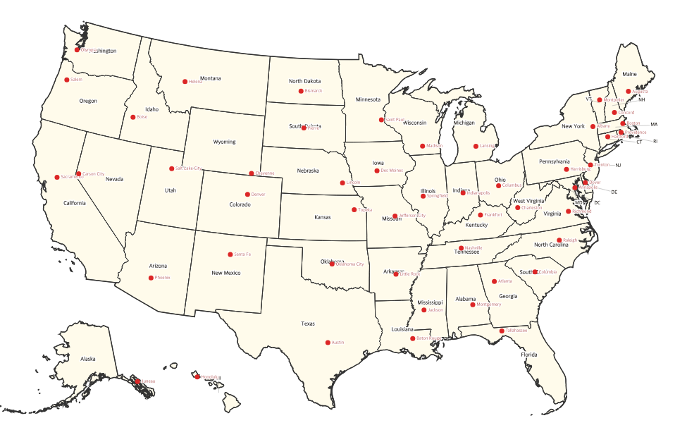
Blank US maps are great for geography quizzes — have students label states, capitals, or regions from memory. They also work well for coloring activities where each state gets a different color, helping kids learn state shapes and locations.
What paper size should I use to print this map?
This map is designed for standard US Letter paper (8.5" × 11") in landscape orientation. For best results, select "Fit to page" in your printer settings.
Can I use this map for a test or worksheet?
Absolutely! This blank map is designed for exactly that purpose. Teachers commonly use it for state identification quizzes, capital labeling tests, and regional geography assignments.