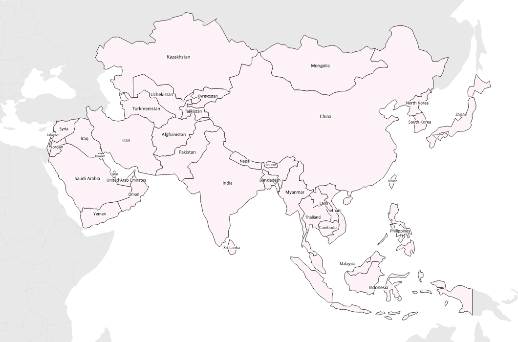
Free Printable Labeled Map of Asia
Free printable map of Asia with country names labeled. A clear reference map covering the Middle East, South Asia, East Asia, and Southeast Asia.
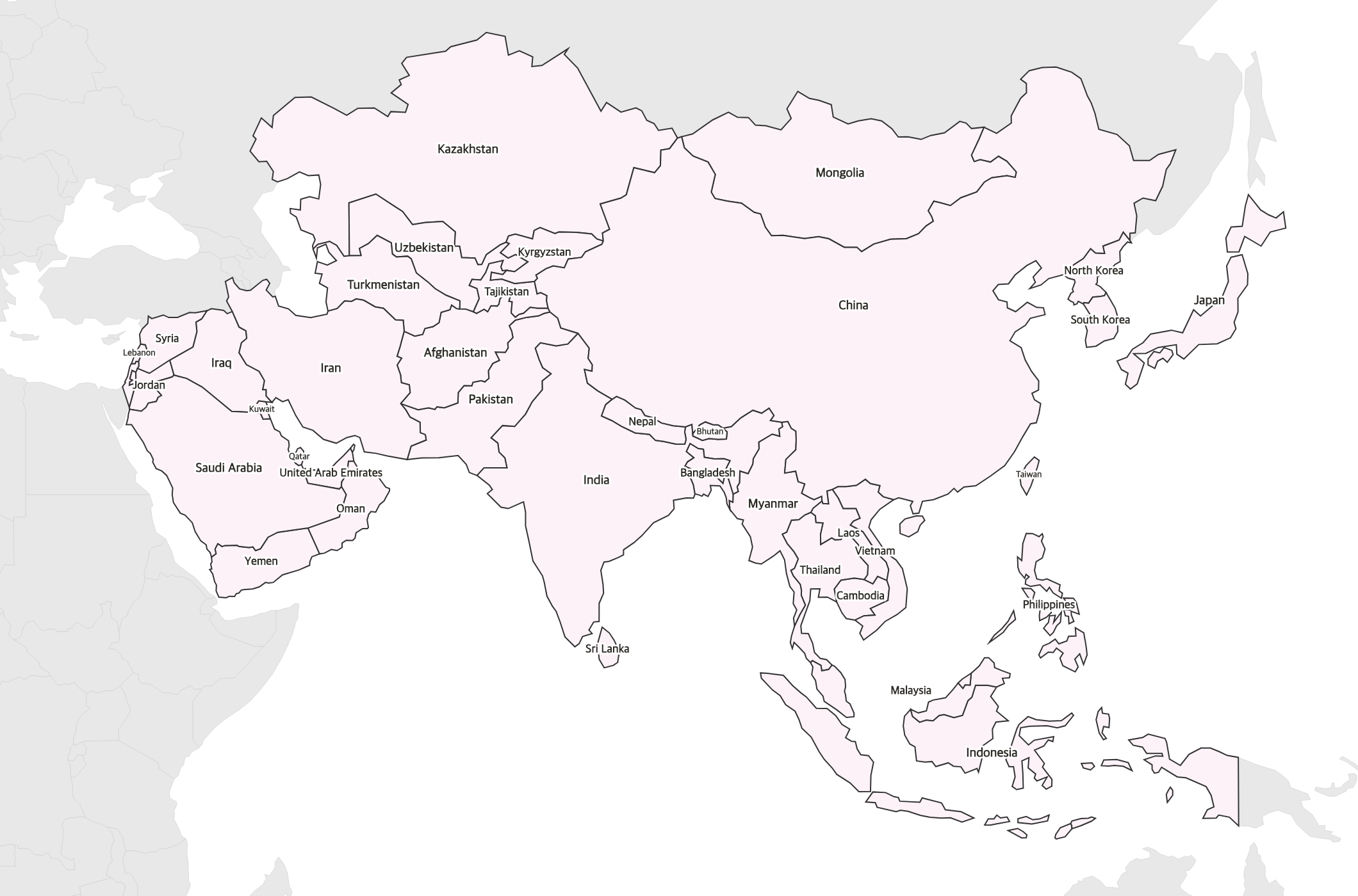
About This Asia Map
Free printable map of Asia with country names labeled. A clear reference map covering the Middle East, South Asia, East Asia, and Southeast Asia.
How to Use
Print this Asia map on standard US Letter paper (8.5" × 11") in landscape orientation. Click "Download PDF" for a print-ready file that automatically fits your page, or "Download PNG" for the high-resolution image file. Neighboring regions are shown in light gray for geographic context.
Frequently Asked Questions
Are all Asian countries labeled?
All major countries are clearly labeled including the Middle East, Central Asia, South Asia, Southeast Asia, and East Asia. Very small countries may use abbreviated names.
Does this include the Middle East?
Yes — the map includes all Middle Eastern countries from Turkey to Yemen, along with the rest of Asia.
Is this map good for studying?
Yes! Use this labeled map as a reference alongside a blank Asia map for testing. It's designed for classroom study and desk reference.