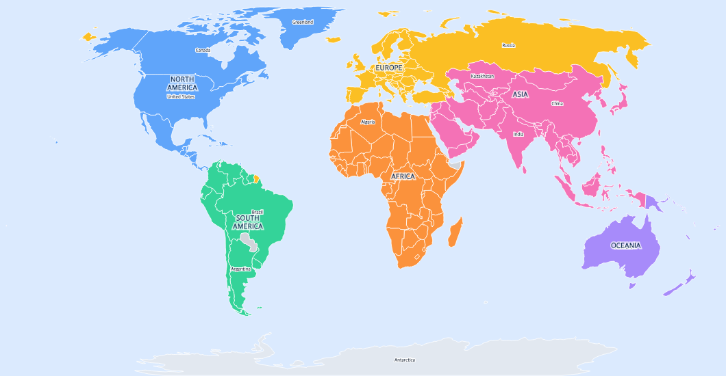
Free Printable Colorful World Map for Kids
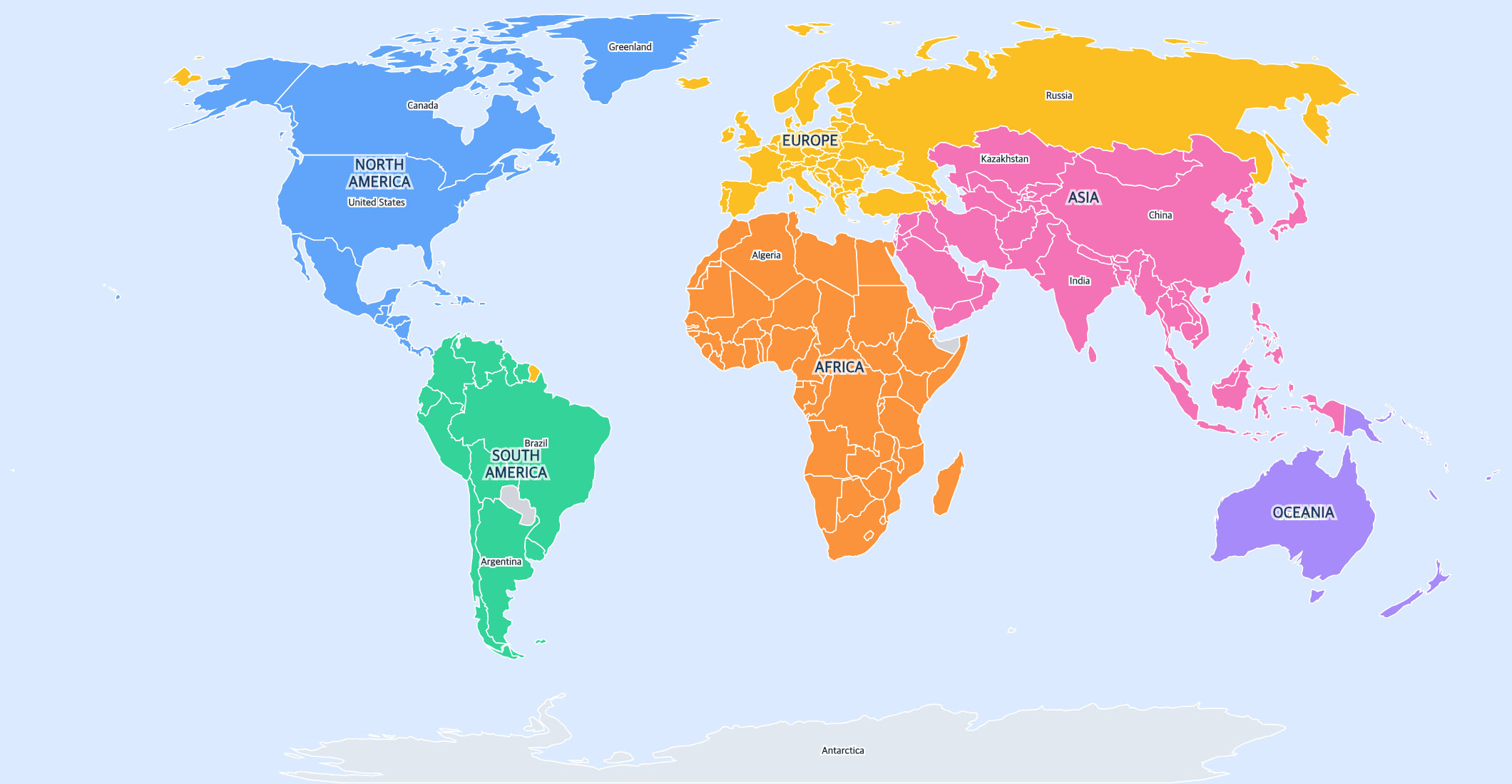
Free printable colorful world map for kids with bright continent colors and simplified labels. Perfect for young learners, classroom decoration, and children's geography.
About This World Map
Free printable colorful world map for kids with bright continent colors and simplified labels. Perfect for young learners, classroom decoration, and children's geography.
How to Use
Print this world map on standard US Letter paper (8.5" × 11") in landscape orientation. The Natural Earth projection provides a balanced view of all continents. Click "Download PDF" for a print-ready file, or "Download PNG" for the image.
Frequently Asked Questions
Why are the continents different colors?
Each continent has its own bright color so young learners can easily see where one region ends and another begins. This makes it much easier for kids to understand world geography.
What age is this map best for?
This colorful map is designed for children ages 4-10. The bright colors and simplified labels make it accessible for preschoolers, while still being useful for elementary students learning world geography.
Can I use this as a classroom poster?
Yes! The bright colors and clean design make it perfect for classroom walls. Print at a larger size using your printer's poster mode for an eye-catching display.