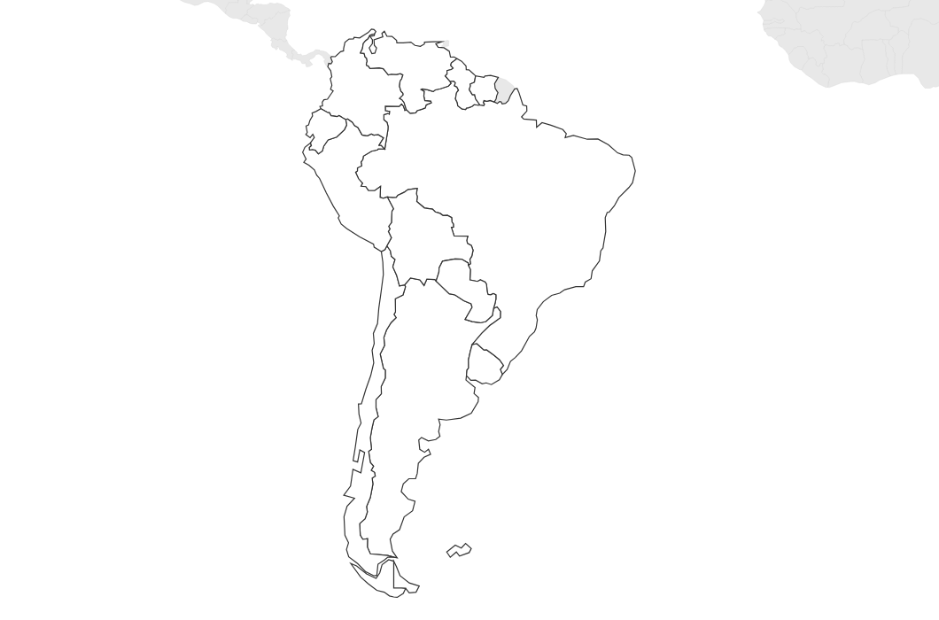
Free Printable Blank Map of South America
Free printable blank map of South America with country outlines only. No labels — ideal for geography quizzes, coloring, and classroom activities.
About This South America Map
Free printable blank map of South America with country outlines only. No labels — ideal for geography quizzes, coloring, and classroom activities.
How to Use
Print this South America map on standard US Letter paper (8.5" × 11") in landscape orientation. Click "Download PDF" for a print-ready file that automatically fits your page, or "Download PNG" for the high-resolution image file. Neighboring regions are shown in light gray for geographic context.
Frequently Asked Questions
How many countries are on this map?
This map shows outlines for all 12 South American countries plus French Guiana. It covers the entire continent from Colombia to Argentina.
Can I use this for a geography quiz?
Absolutely! The blank format is perfect for country identification quizzes. Students label countries, capitals, and major geographical features from memory.
Does this include Central America?
No — this map focuses specifically on the South American continent. Central American countries are shown on our separate North America and World maps.