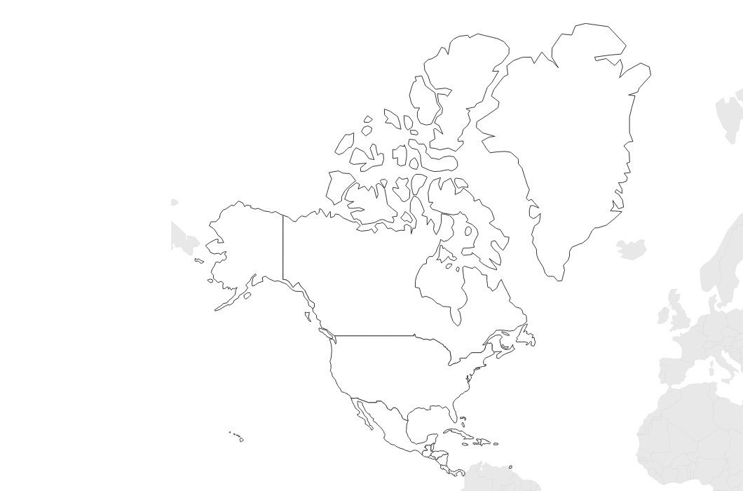
Free Printable Blank Map of North America
Free printable blank map of North America with country outlines. Includes the US, Canada, Mexico, Central America, and the Caribbean — perfect for geography study.
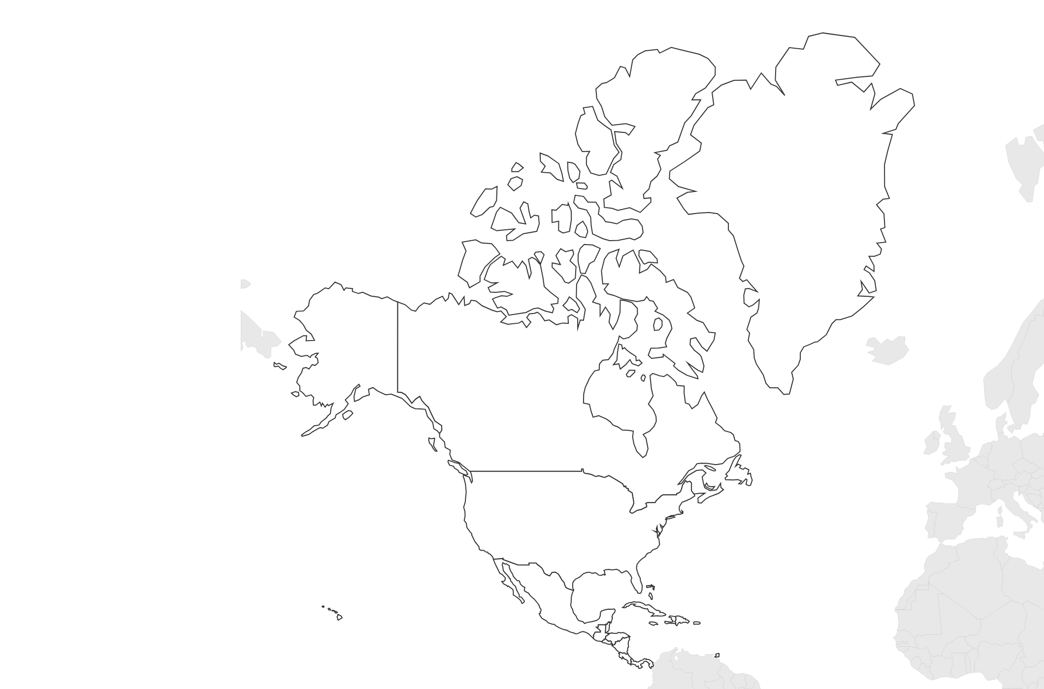
About This North America Map
Free printable blank map of North America with country outlines. Includes the US, Canada, Mexico, Central America, and the Caribbean — perfect for geography study.
How to Use
Print this North America map on standard US Letter paper (8.5" × 11") in landscape orientation. Click "Download PDF" for a print-ready file that automatically fits your page, or "Download PNG" for the high-resolution image file. Neighboring regions are shown in light gray for geographic context.
Frequently Asked Questions
What countries are included?
This map shows the United States, Canada, Mexico, all Central American countries, and Caribbean island nations — the complete North American continent.
Does this include US states?
This map shows country-level outlines. For individual US state boundaries, see our dedicated US maps.
Can students use this for quizzes?
Yes! The blank format is ideal for labeling countries, capitals, oceans, and major geographic features.