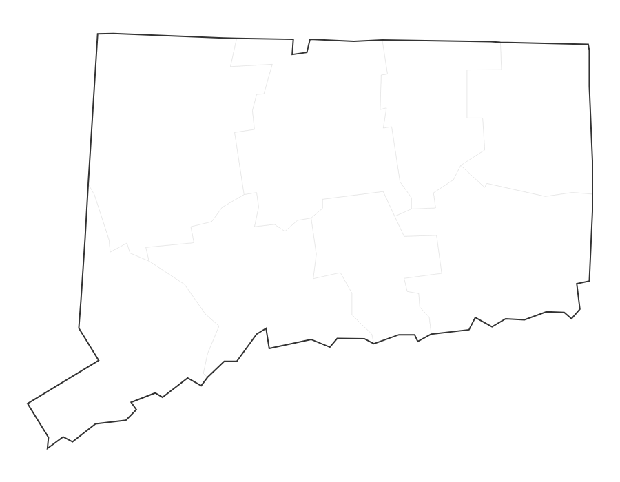
Free Printable Blank Map of Connecticut
Free printable blank map of Connecticut with county outlines. No labels — ideal for geography quizzes, coloring, and classroom activities. 8 counties shown.
About This Connecticut Map
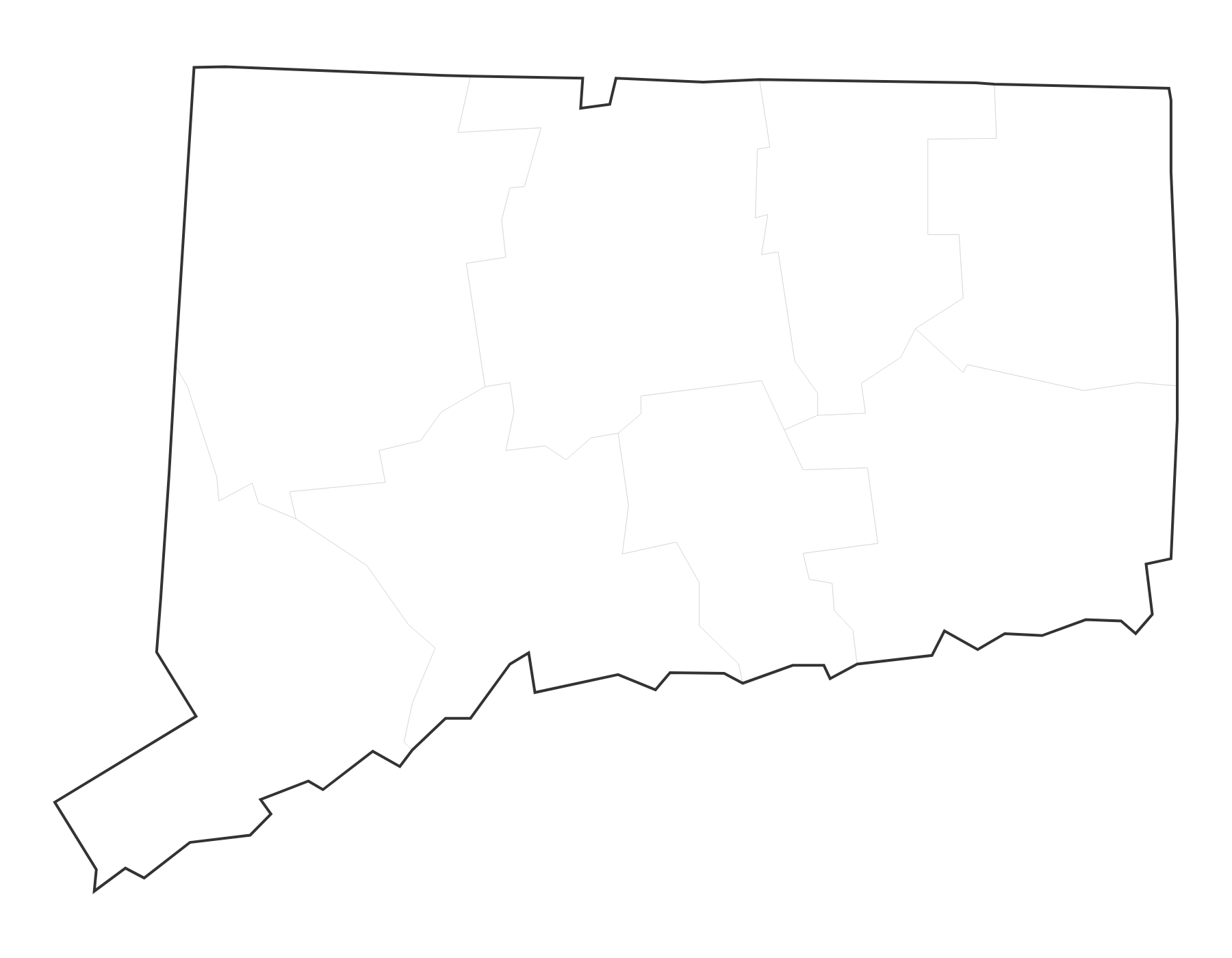
This free printable blank map of Connecticut shows all 8 county boundaries with no labels. Connecticut, known as the "Constitution State," has its capital in Hartford. Use this blank map for quizzes, coloring activities, or labeling practice.
How to Print
Click "Download PDF" for a print-ready file that automatically fits US Letter paper (8.5" × 11") with proper margins. Or download the high-resolution PNG to use in presentations, worksheets, or other documents.
Classroom Ideas
This blank map is perfect for geography quizzes and labeling exercises. Have students identify counties, mark the capital Hartford, label major cities, or color regions. Pair with our Connecticut map with cities as an answer key.
Frequently Asked Questions
What are the largest cities in Connecticut?
The largest cities in Connecticut by population include Bridgeport, Stamford, New Haven, Hartford, Waterbury. The state capital is Hartford.
What is the capital of Connecticut?
The capital of Connecticut is Hartford.
What paper size should I use?
This map is designed for standard US Letter paper (8.5" × 11"). The PDF download automatically fits the map to your page with proper margins.