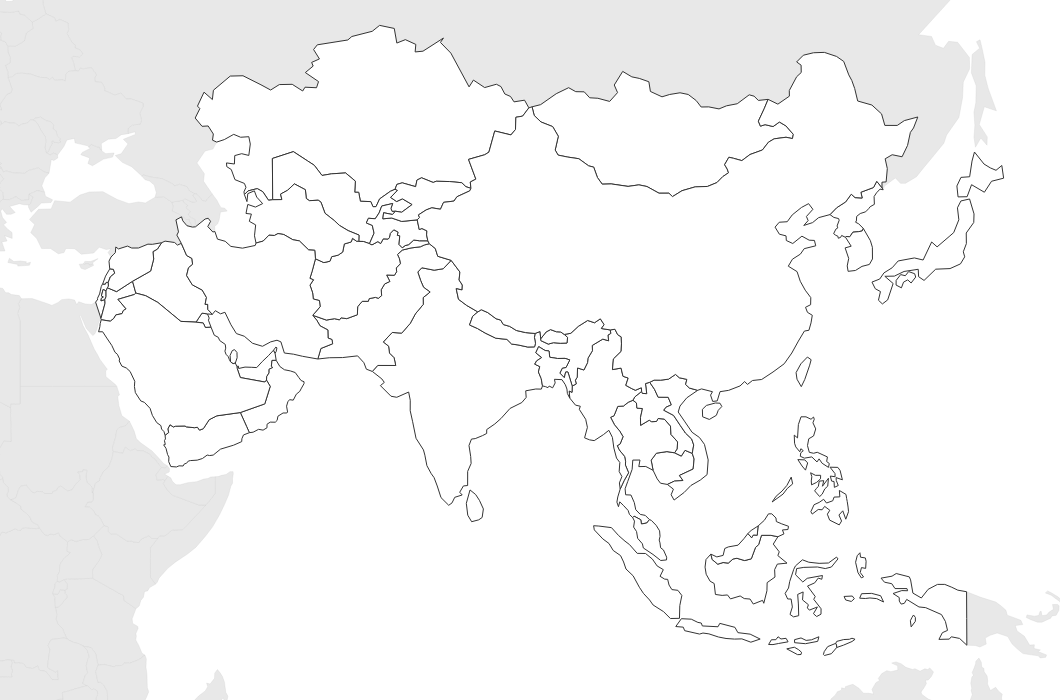
Free Printable Blank Map of Asia
Free printable blank map of Asia with country outlines only. No labels — perfect for geography quizzes, coloring, and classroom activities.
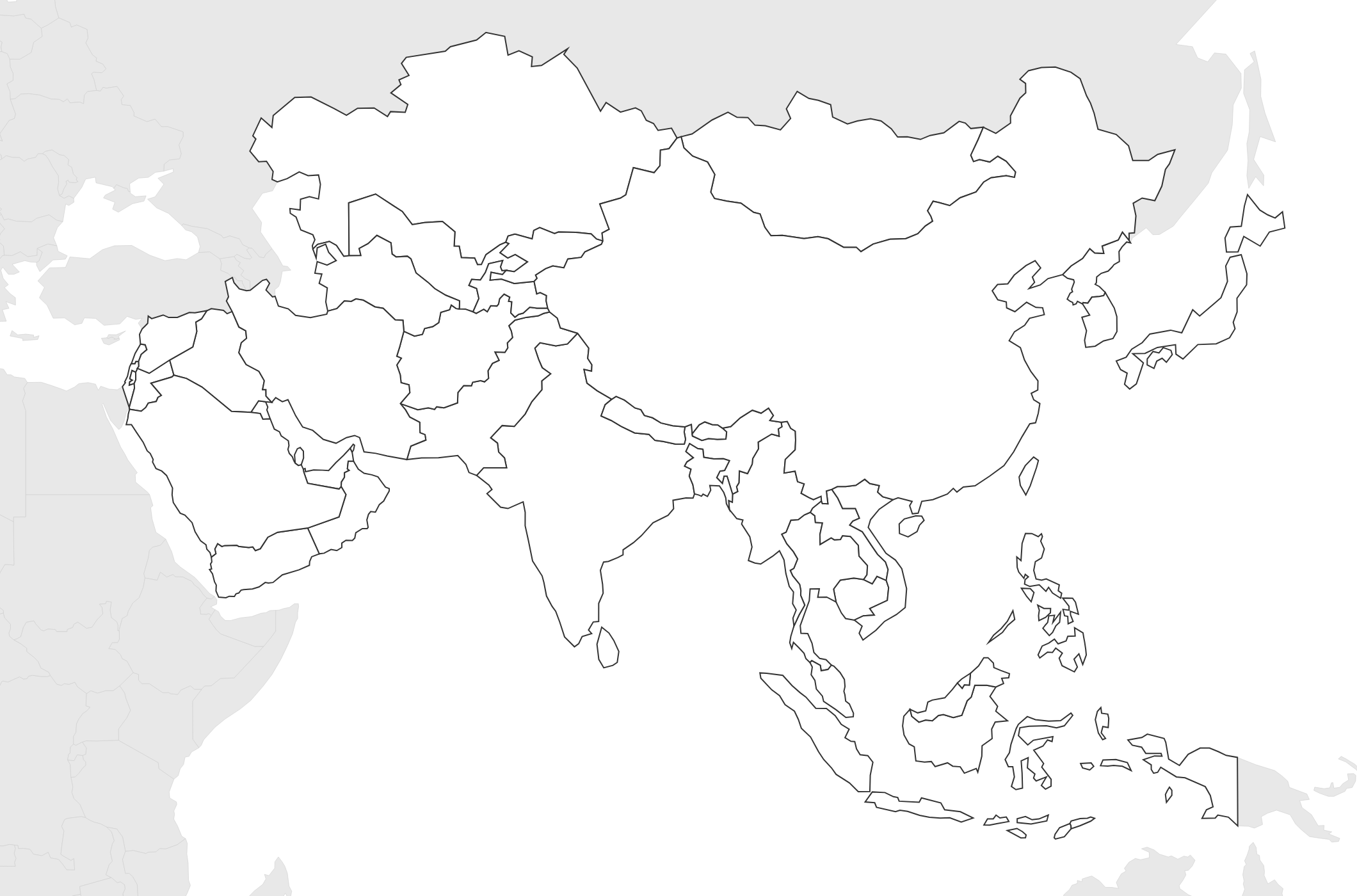
About This Asia Map
Free printable blank map of Asia with country outlines only. No labels — perfect for geography quizzes, coloring, and classroom activities.
How to Use
Print this Asia map on standard US Letter paper (8.5" × 11") in landscape orientation. Click "Download PDF" for a print-ready file that automatically fits your page, or "Download PNG" for the high-resolution image file. Neighboring regions are shown in light gray for geographic context.
Frequently Asked Questions
What countries are included on this Asia map?
This map covers all of Asia from Turkey and the Middle East in the west to Japan and Indonesia in the east, plus Central Asian countries like Kazakhstan and Mongolia.
Can students color this by region?
Yes! The country outlines make it easy to color by sub-region (East Asia, Southeast Asia, South Asia, Central Asia, Middle East) for a great geography lesson.
Does this include Russia?
The map shows the Asian portion of Russia east of the Ural Mountains, which is geographically part of Asia.