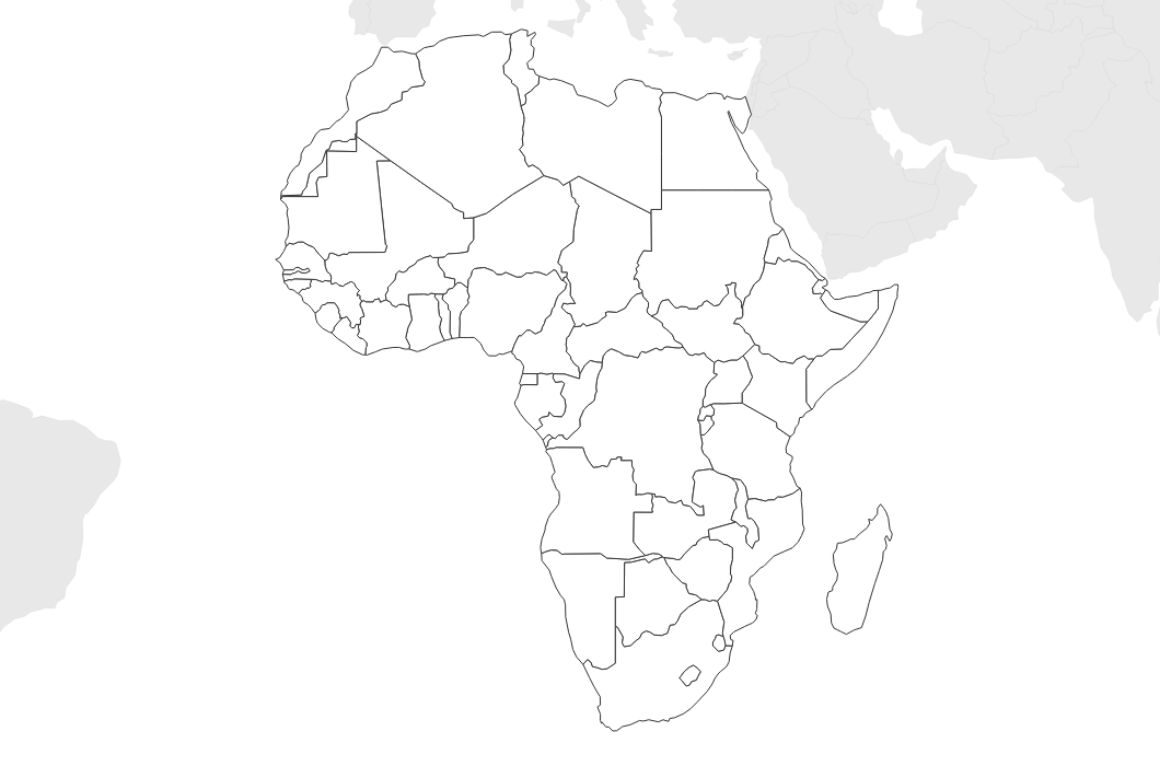
Free Printable Blank Map of Africa
Free printable blank map of Africa with country outlines only. No labels — ideal for geography tests, classroom activities, and educational coloring projects.
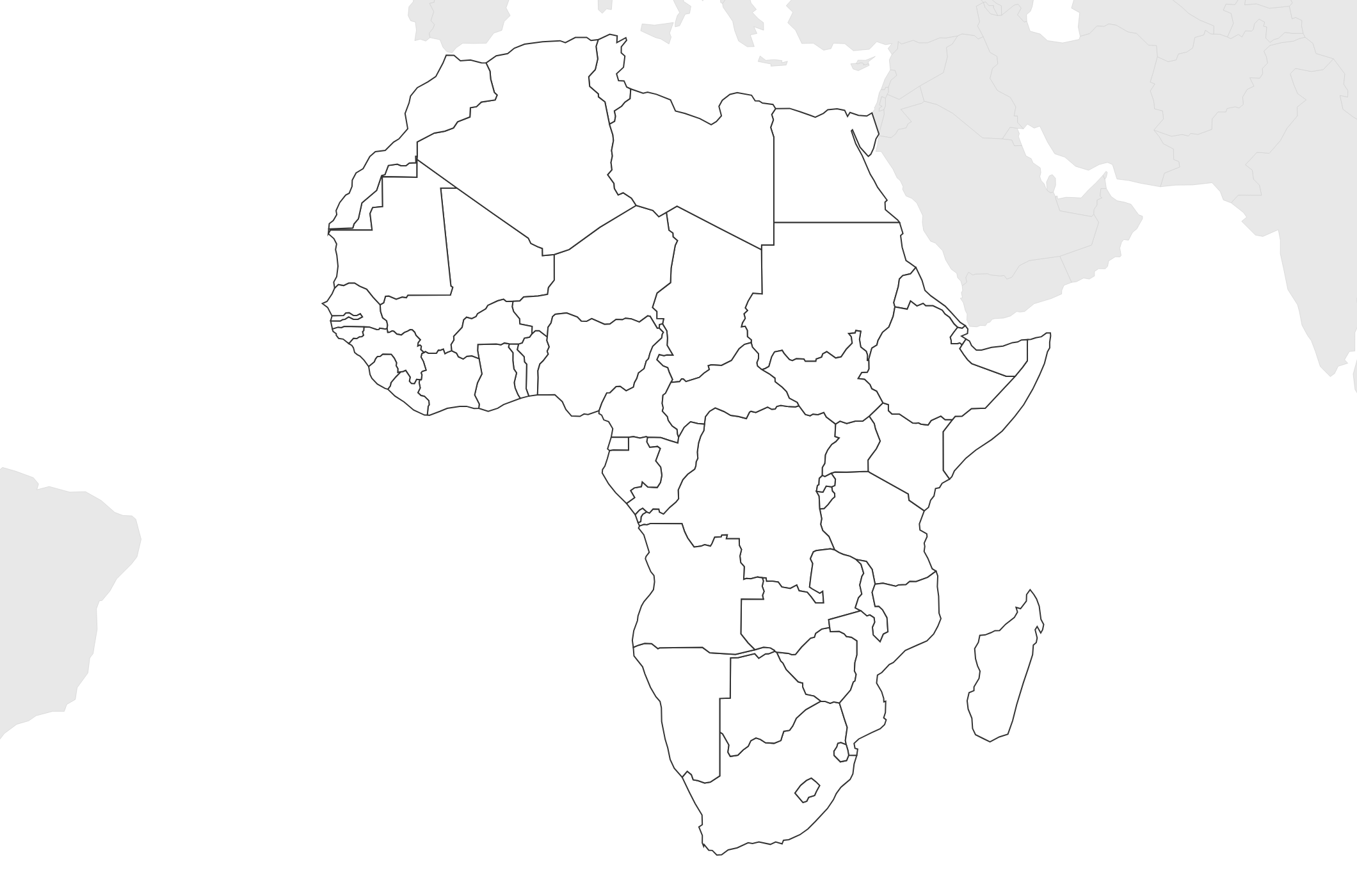
About This Africa Map
Free printable blank map of Africa with country outlines only. No labels — ideal for geography tests, classroom activities, and educational coloring projects.
How to Use
Print this Africa map on standard US Letter paper (8.5" × 11") in landscape orientation. Click "Download PDF" for a print-ready file that automatically fits your page, or "Download PNG" for the high-resolution image file. Neighboring regions are shown in light gray for geographic context.
Frequently Asked Questions
How many countries are on this map?
This blank map shows outlines for all 54 African countries, including island nations like Madagascar. It's perfect for learning African geography.
Can students use this for quizzes?
Yes! The blank format is designed for geography tests and quizzes. Students can practice labeling countries, capitals, rivers, and regions.
Does this include North Africa?
Yes — the map covers the entire African continent from Morocco and Tunisia in the north to South Africa in the south.