Free Printable Maps
Download and print high-quality maps for classrooms, homeschools, and geography study. US state maps, world maps, and colorful kids maps — all free, no sign-up required.
United States Maps
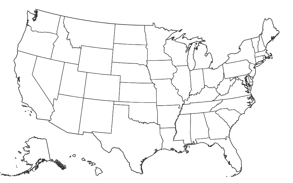
US Blank Map
Free printable blank map of the United States with state outlines only.
Download →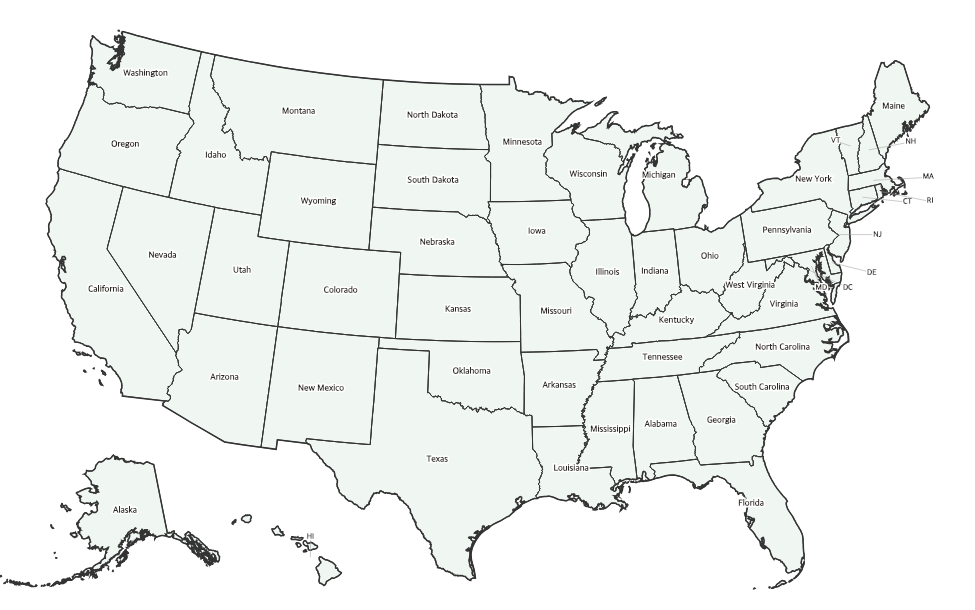
US Labeled Map
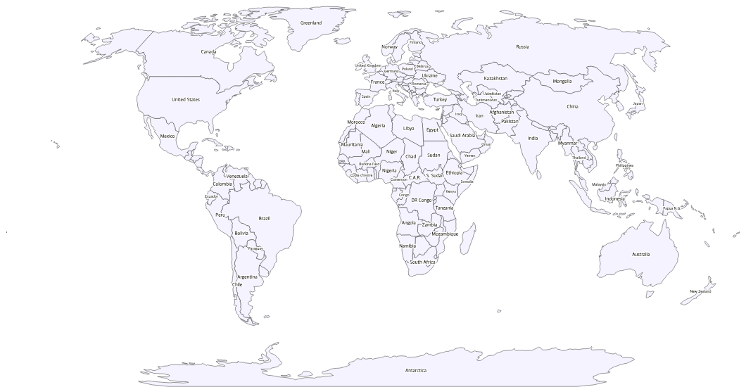
Free printable map of the United States with all 50 state names labeled.
Download →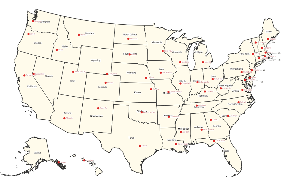
US Capitals Map
Free printable map of the United States showing all 50 state capitals marked with dots and labels.
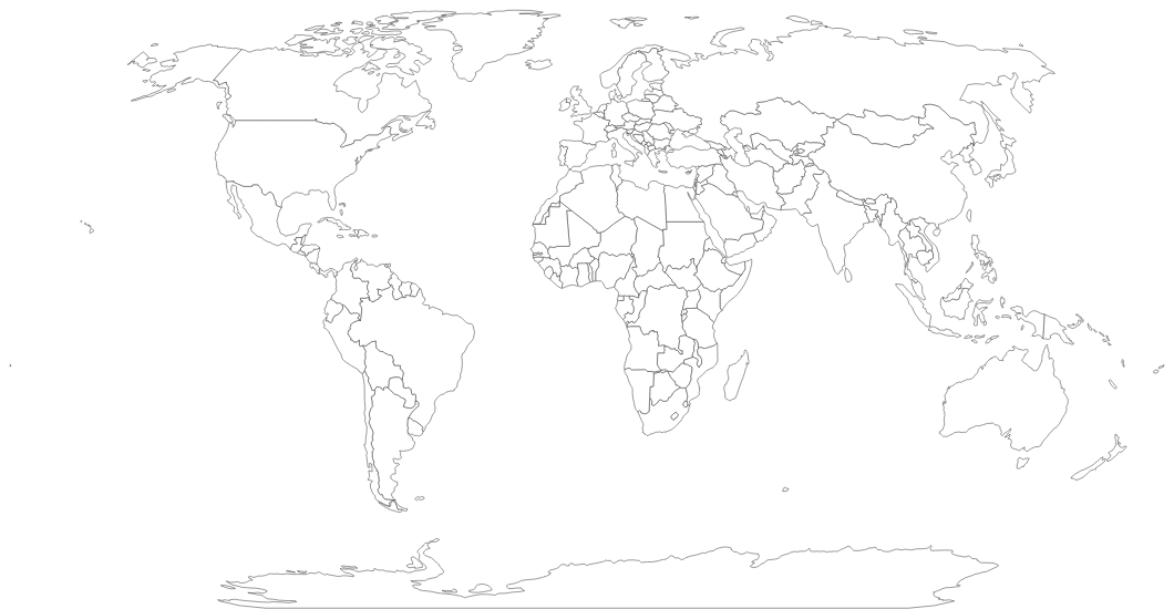
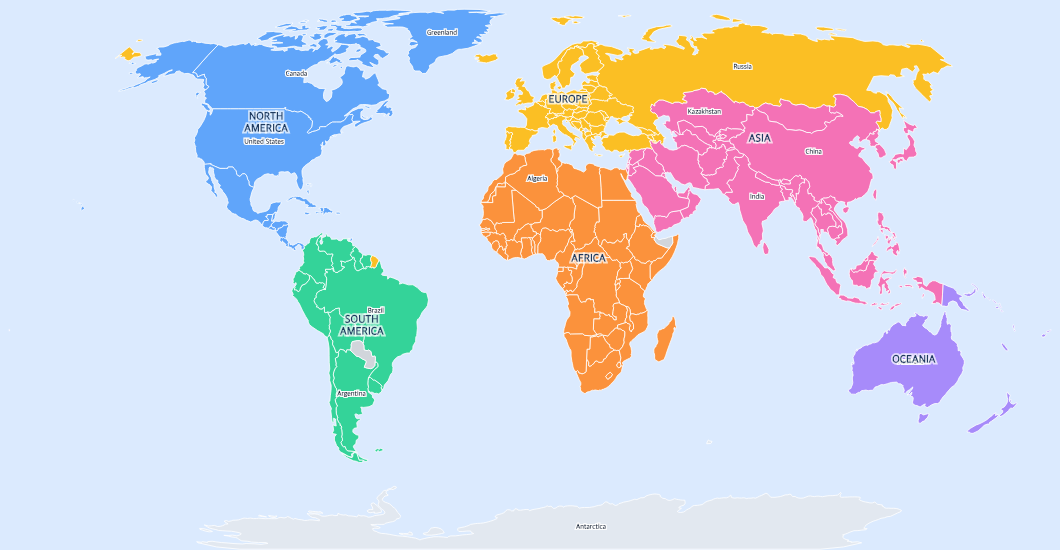
Download →World Maps
Free Maps for Classrooms & Homeschools
Our printable maps are designed specifically for educational use. Whether you need a blank US map for a geography quiz, a labeled world map as a desk reference, or a colorful kids map for young learners, every map prints perfectly on standard paper and is completely free to use.
How to Print
Click on any map above, then choose "Download PDF" for a print-ready file sized for US Letter paper (8.5" × 11") in landscape orientation. Or download the high-resolution PNG file to use in your own worksheets, presentations, or projects. All maps are free — no account or sign-up required.
Frequently Asked Questions
Are these maps really free?
Yes! All maps on Printable Scholar are 100% free to download and print. No account or sign-up required.
What paper size do the maps print on?
All maps are optimized for standard US Letter paper (8.5" × 11") in landscape orientation. The PDF download automatically sizes the map to fit your paper with proper margins.
Can I use these maps in my classroom?
Absolutely! Our maps are designed specifically for educational use. Teachers and homeschool parents are welcome to print copies for their students.
What's the difference between PDF and PNG downloads?
The PDF is print-ready — it automatically sizes the map for US Letter paper with margins. The PNG is a high-resolution image you can insert into presentations, worksheets, or other documents.
Do you have individual state or continent maps?
We currently offer full US and World maps. Individual state maps and continent maps are coming soon — check back for updates!